Update 05
Well, as all of you know who are following this in "real time", it's been awhile since my last update, which was on May 8th. It is now May 19th and I'm 11 days and uncounted photos behind. I'm currently in Annapolis, MD (actually Pasadena, a nearby town on the Magothy River), and I resume riding tomorrow. Today is for laundry, cleanup, and reorganization before I head for New York city after 6 lay days.
Saturday 5/9/2009
Day 17
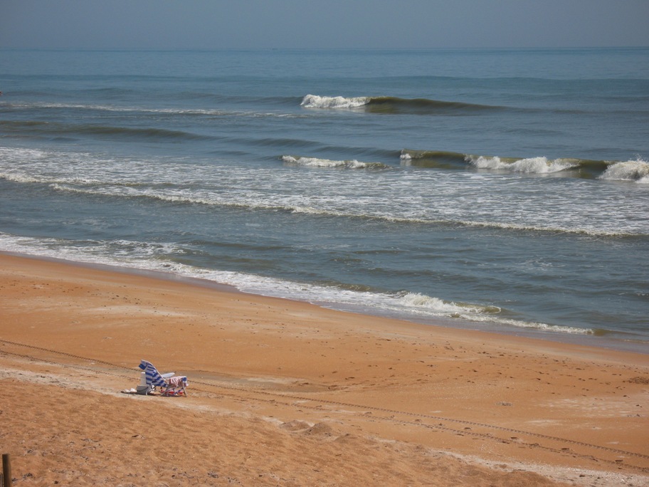
Last you heard we were in Vero Beach, FL for a lay day prior to riding 250 miles to Jacksonville, from which Lynn would fly back home. This relatively uneventful day did reveal one interesting factoid: There is surf in Florida. It is NORTH of Cape Canaveral. I hadn't thought about it before, but summer surf in Florida comes from the southeast, driven by the southeast trade winds, and in the southern half of Florida it is blocked by the Bahamas island group. Duh.
Well, not quite. Cocoa Beach, which is just south of Canaveral, calls itself the Surfing Capital of Florida. Maybe in winter it is, when storm-driven NE to E swells occur. It was pretty flat when we rode through.
Since Canaveral (Kennedy Space Center) is off limits to driving, we swung inland just south of the Cape, bypassed KSC (which we'd toured in 1994) and the urbanized Daytona area (we'd been there too), and returned to the coast at Ormond Beach. The coast looked different here . . .
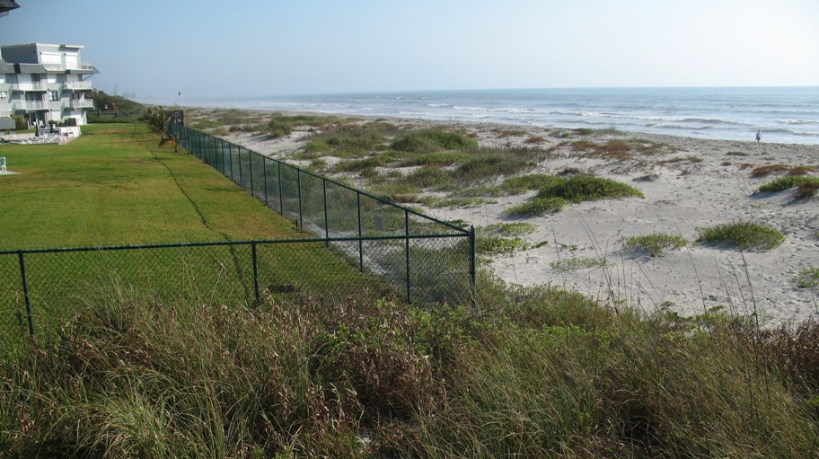
. . . and there was actual rideable surf! Lots of it, with no surfers. This three foot break would have been crowded in SoCal.
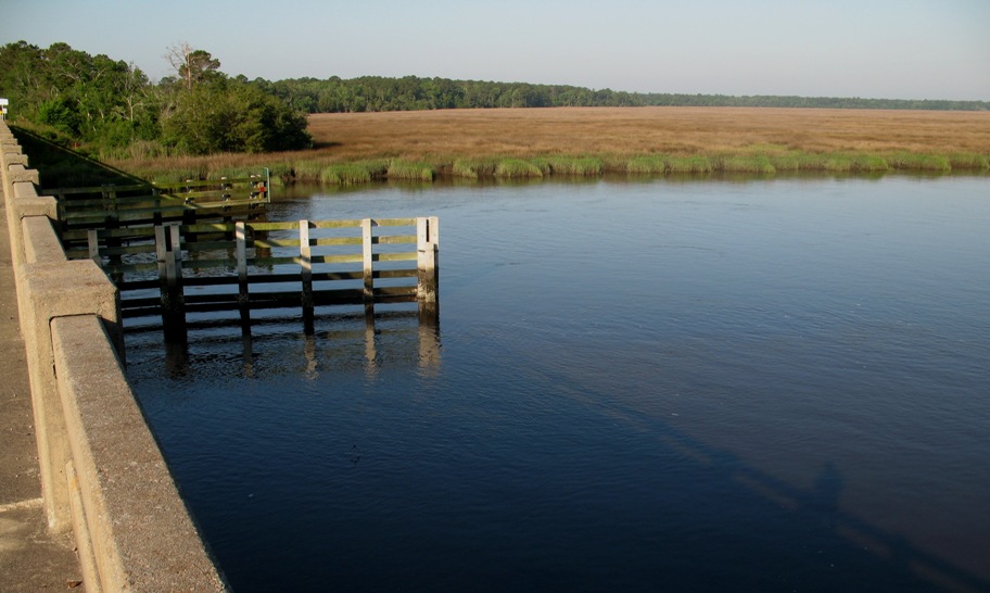
Somewhat north of there we came across Matanzas Inlet:
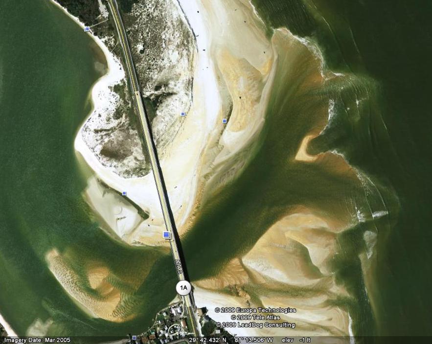
Now, in Florida there are inlets, and there are Inlets. The latter are dredged so larger boats can use them. This one is not -- which doesn't mean boats don't use it; but its use is limited to small, fast, shallow vessels which can wait for a lull in the surf and then dash through.
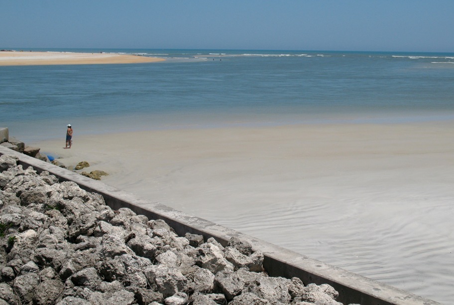
Here's a satellite view of this inlet. The "navigable" pass, on this particular day, is in the upper right. With storms, this pass may shift around -- so much so that no one bothers to mark it with buoys.
Let me zoom in on that pass for you:
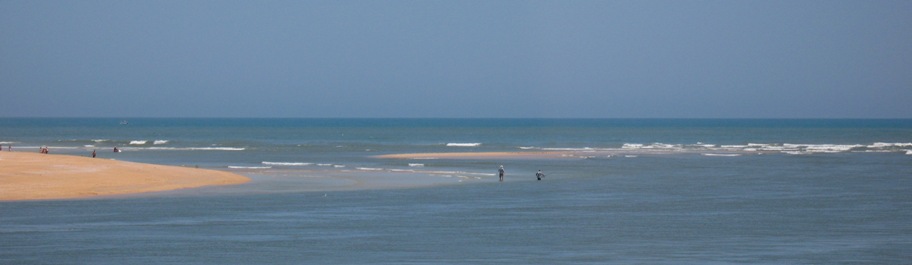
It's just to the left of and beyond the two waders, and the channel snakes in right around them. It is instructive to realize that, while you or I would be unlikely to attempt this pass in anything but an outboard-powered skiff, for a couple centuries this pass was used by commercial fishermen in sailboats.
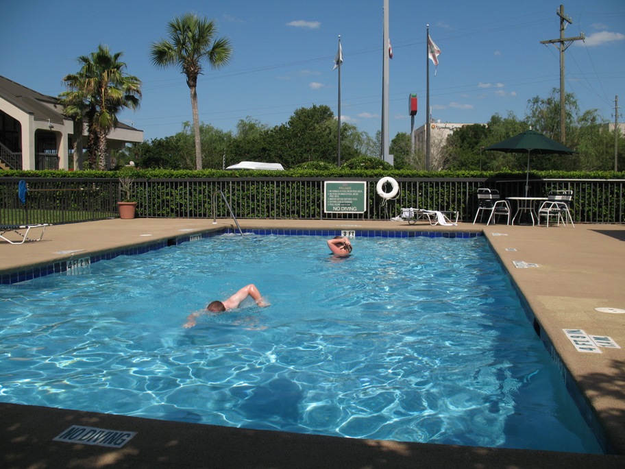
We reached our hotel in Jacksonville uneventfully, and were rewarded with yet another swimming pool, in which we submerged gratefully.
Sunday 5/10/2009
Day 18
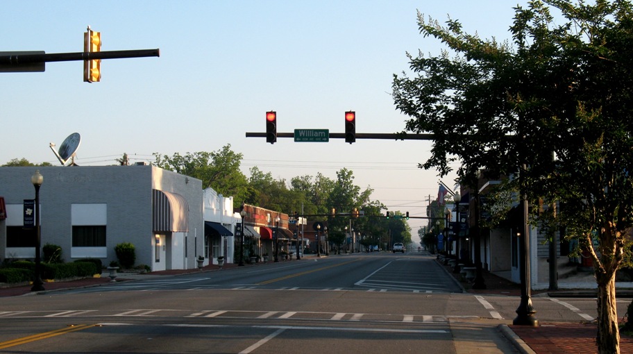
Our hotel was a stone's throw from Jacksonville Airport, so Lynn was able to take a hotel shuttle to the terminal at 6:30 am, leaving me free to extend my ride beyond my preplanned destination of Savannah, and to "smell a few roses" along the way. After making a hotel reservation in Mt Pleasant, SC (halfway to Morehead City, my Monday destination), I headed out slowly, taking rural roads. In so doing, I passed through a number of small southern towns. How small? Here's a taste:
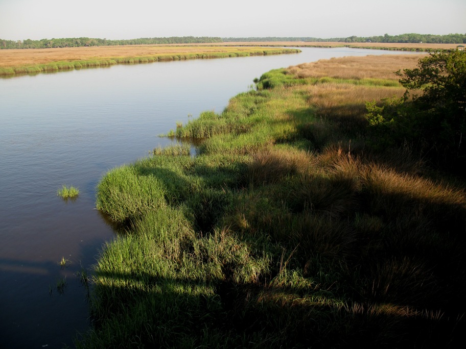
The countryside here oscillates from low-lying forest to barely lower-lying salt marsh. This is because the coastline in this region is indented westward (the center of the indent is at St. Mary's River which marks the Florida-Georgia border), which causes about a 3x tidal amplification in this area, to around nine feet, leading to very large inland estuarial areas that separate the relatively sparse hummocks of land that are high enough to stay dry *most* of the time. Only in the salt marshes can you see anything, because the forests are dense. It looks like this.
As the morning passed it was time for a late breakfast, so I stopped for a breakfast sandwich at a Burger King, the only open restaurant for 50 miles on a Sunday morning in the rural South. The sandwich came in a paper bag. The bag had on it an interesting little bit of corporate "green washing":
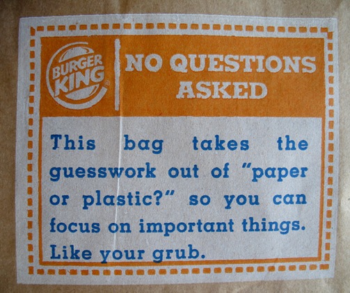
They say this because the bag is made from recycled paper. Or is it?
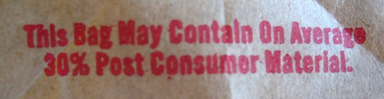
Oh.
Now, reflect. Anyone who knows anything about paper manufacturing will tell you that making bags from recycled paper is "resource neutral", i.e. just as polluting as new paper. What it *does* do is reduce landfill.
But wait. Do you really WANT to reduce landfill if what you are burying is a) biodegradeable, and b) loaded with carbon? Carbon that was split off by the plant from carbon dioxide (a major greenhouse gas), releasing OXYGEN in the process? I mean, paper is greenhouse gas in solid form, and what you *want* to do is BURY IT AND GROW MORE TREES!!!! Because (ahem) paper is made from pulp pines that are grown on tree farms! Which cover the landscape in the South. This is a RENEWABLE RESOURCE, people, the environmental Holy Grail. Good for the local economy too. Can you say "economic stimulus"?
(For these insights I'm indebted to my very good friend David Russell, a brilliant guy who is also godfather to my children.)
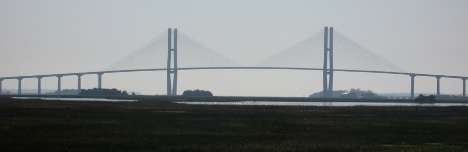
OK, onward. At about this point I realized two things:1) If I kept crawling northward on rural highways I was unlikely to arrive in Mt. Pleasant before dark, and 2) If I were to speed up I'd have time to visit the Ships Of The Sea Maritime Museum in Savannah, which I had enjoyed once before in 1994. So I crossed this bridge into Brunswick, GA . . .
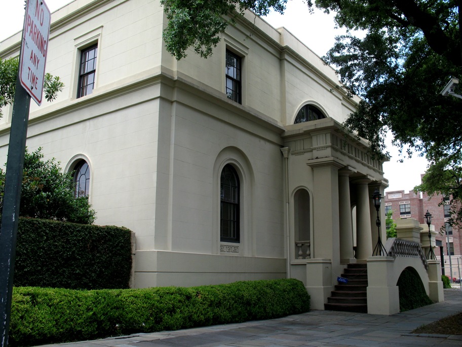
. . . got back on I-95, high-tailed it into Savannah, and found out that the museum, which had a nearly identical sign out on the sidewalk (I didn't notice the "William Scarborough House" in small print) . . .
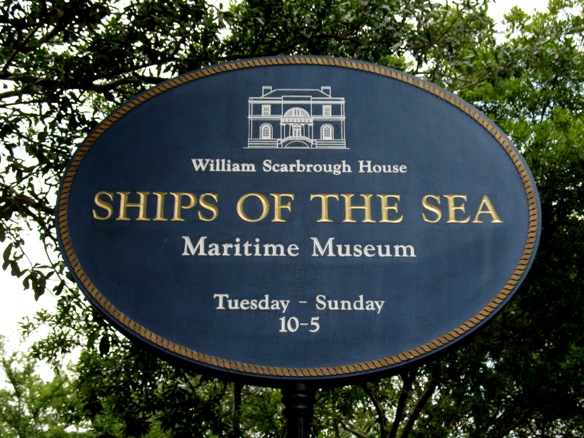
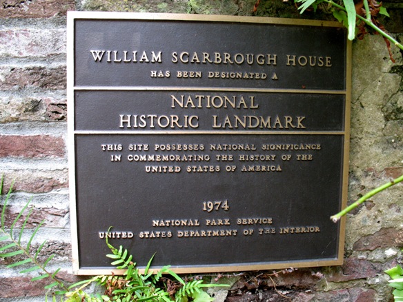
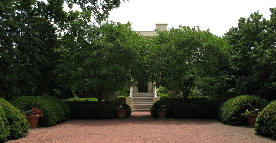
. . . was not in the historic colonial-era waterfront warehouse district where I left it in 1994. It was here:
Wow. I guess we've come up in the world -- although, literally speaking, the old warehouse district museum *was* four stories high. This one is two, plus a basement, all filled with maritime memorabilia:
Conveniently, there was off-street parking on the premises, which I discovered AFTER putting $1.50 in a street meter and then being told by a passer-by that there was no parking fee on Sunday. So I moved to the bike to the (free) tree-shaded lot and entered through the garden.
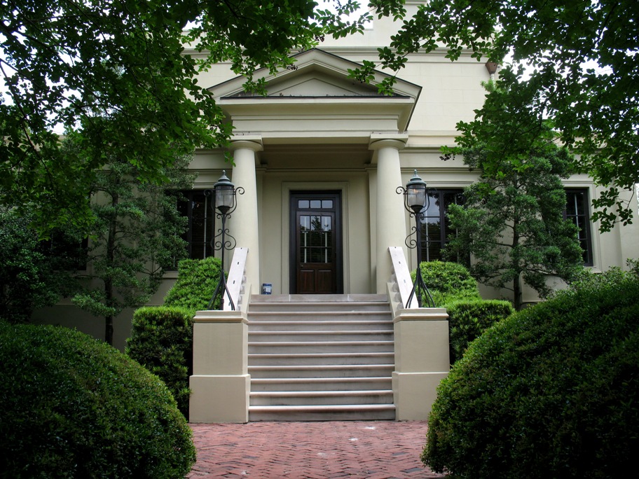
Nice digs. No photos were allowed inside, so I cannot show you the many excellent ship models inside, all at a scale of 3/8" = one foot (i.e. 0.03125x life size, or 3.1%), which, for the larger ships, made for some HUGE models. The Titanic, for example was 27.6 feet long and filled the center of a room.
From there I took the fastest roads possible to and through Charleston to Mt. Pleasant, in the rain (oh joy), passing along the way a multitude of small private side roads and driveways that provided a nice example of what it must have been like to travel through this forest in colonial days.
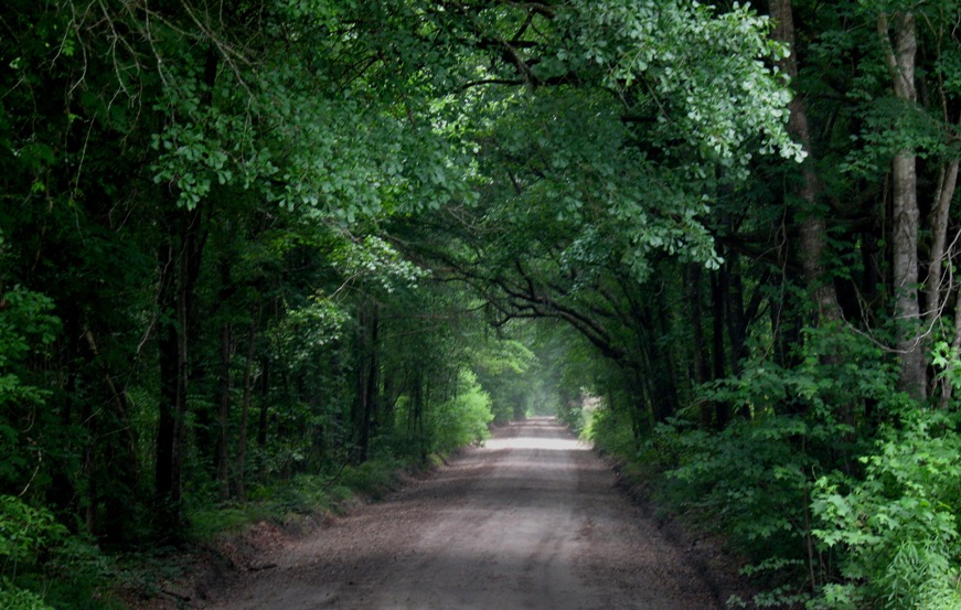
As you look at this photo, bear in mind that there was no way to travel any significant distance on land in this area without running into water. The land is riddled with estuarial creeks and rivers that cannot be forded. They can only be crossed with a bridge or ferry, and given the size of bridge to which the colonists were likely limited, they either had to go WAY inland (where the rivers are small) or use a ferry. It must have been maddening to explore. You can see why boat travel was prevalent. The rivers go darn near everywhere.
Monday 5/11/2009
Day 19
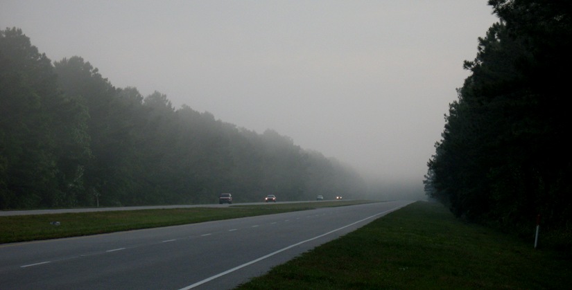
My job this day was simply to get to the home of our cruising friends from 2005, Bob and Barb Thomas in Morehead City, and I rode with that primary intent. Since it was raining most of the way, I rode with the secondary intent not to get too wet. This meant maintaining a goodly but not excessive speed, so as to stay in the wind shadow of the windshield and fairing but not to go so fast that a skid would be either likely or lethal. 50-60 mph is nice. I did stop for one photo op just before the first rain hit me. This is what oncoming rain looks like in the southeast lowlands.
I got to Morehead City just in time to a) miss the street I was supposed to turn on, b) get lost, c) stop on a side street to check my iPhone's GPS, and d) while stopped and completely vulnerable, to get dumped on by the biggest cloudburst of the day -- with my gloves off and my iPhone in my hand, all of which I would have avoided had I not missed the turn. Crikey!
I got there after the cloudburst, and was greeted by this lovely little home in a quiet neighborhood a stone's throw from the water.
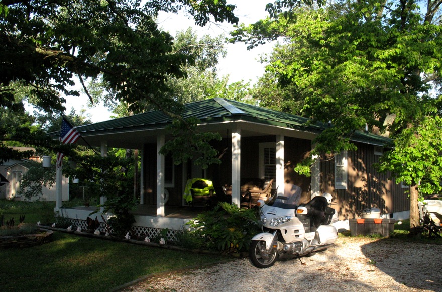
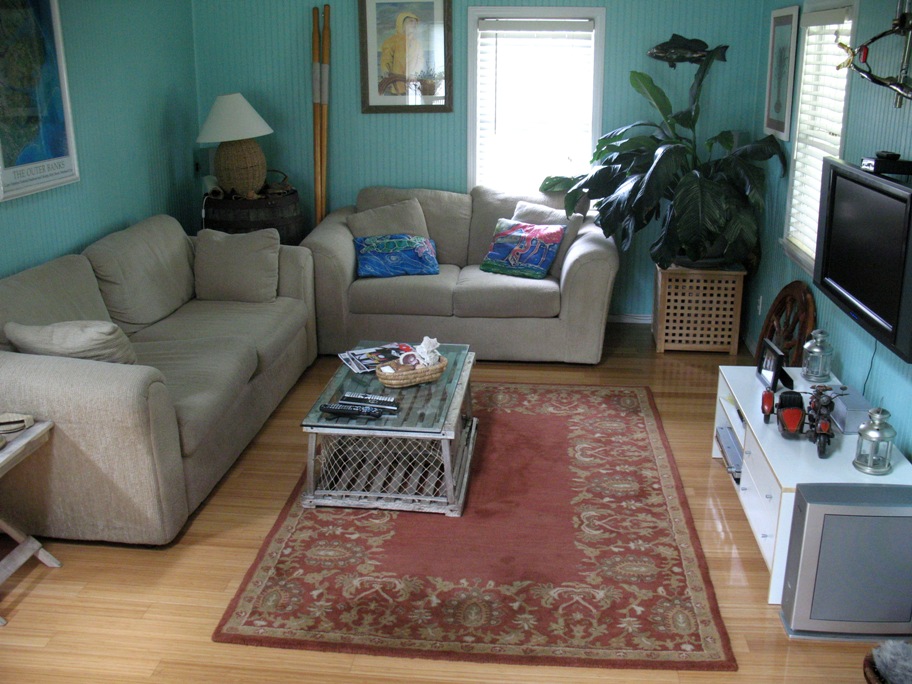
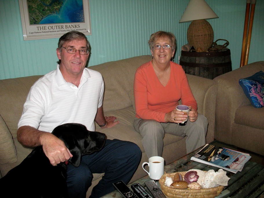
My family and I stayed with Bob and Barb in 2005 when we came through on Wind Song, and I just love their place. It is small, cozy, and "people-sized", like a boat, inexpensive, energy-effiecient, and easy to maintain, which leaves you with more money to spend on other things, like motorcycles, boats, and adventure! I lost count of the small boats Bob has floating around the back yard and garage -- five at least, not counting their 42 foot Colvin-designed steel cruising schooner which is berthed a block away. The inside of the house is as cute as it can be, with their many mementos of cruising displayed everywhere . . .
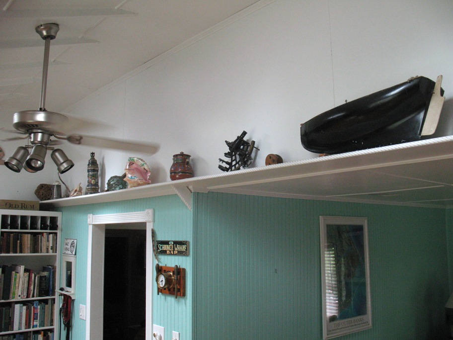
. . . and one memento of their days riding around North Carolina on/in their Russian Ural motorcycle with sidecar.
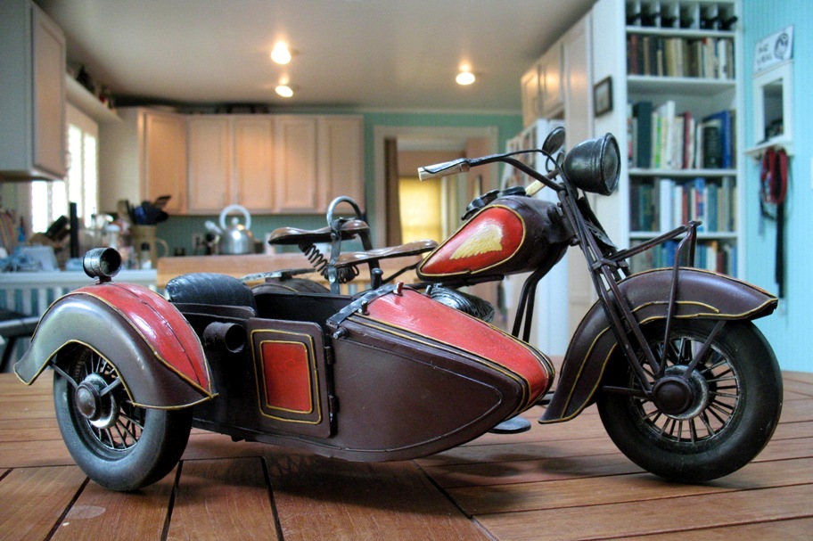
OK, yes, the model is of an Indian, not a Ural, but when they found it in a shop in Italy, all ten inches of it, they couldn't pass it up and somehow found a place for it in their luggage. Very sweet, like they are themselves.
While I was there we talked a lot about returning to the Bahamas, which I plan to do in Fall 2010 and they would very much like to as well. Pending resolution of their job commitments, it seems possible they could make it that year as well, which would be just plain lovely.
By the way, that "coffee table" in front of them is a lobster trap. Look around the room and see what else relates to boating.