Update 07
Thursday 5/21/2009
Day 29
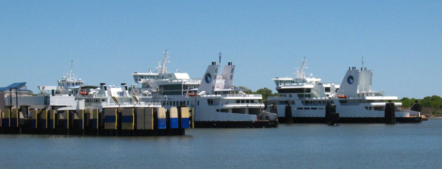
My plan was to take the ferry from Lewes, DE to Cape May, NJ, so I had a leisurely morning before riding the seven miles to the terminal for an 11:15 am departure. This was a larger ferry, and ferry terminal, than I'd encountered before.
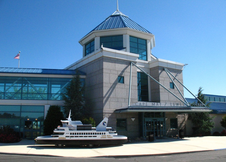

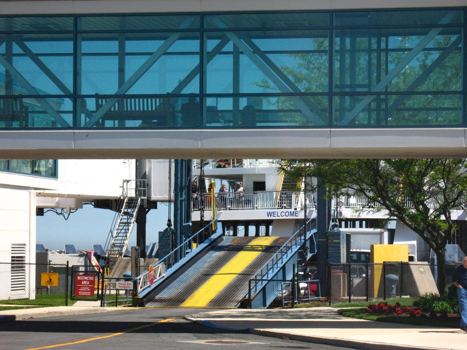
This terminal had separate access to the ferry for vehicles and pedestrians, the latter taking this elevated, enclosed (air-conditioned) walkway and airport-like loading ramp while the cars took the usual ramp (here shown still elevated while the ferry finishes docking).
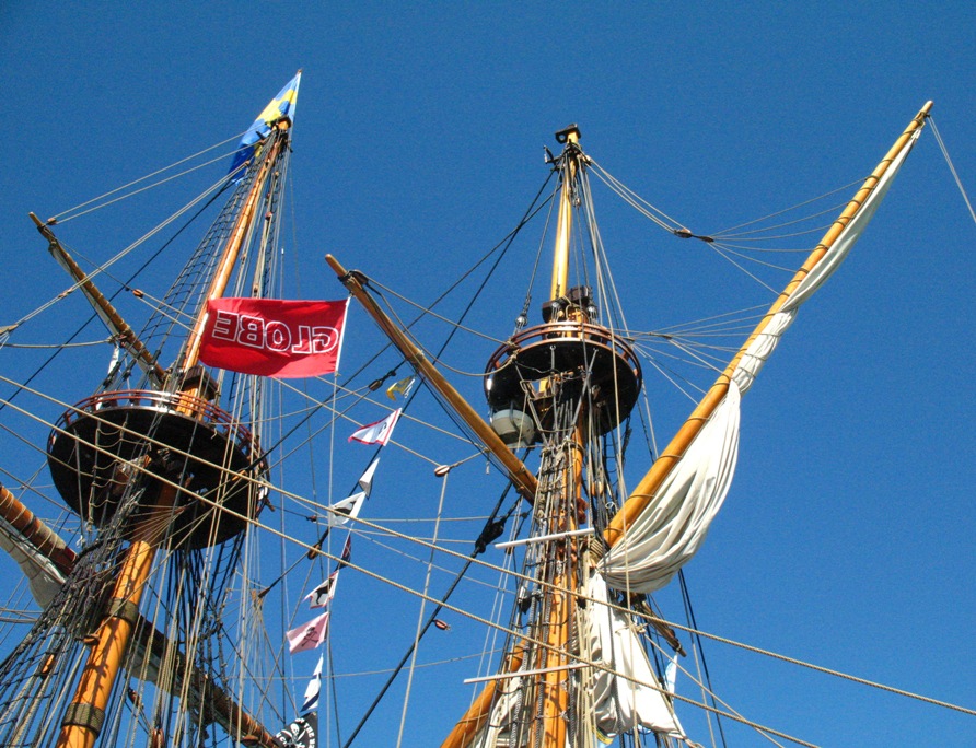
Providing entertainment while I waited to board was this:
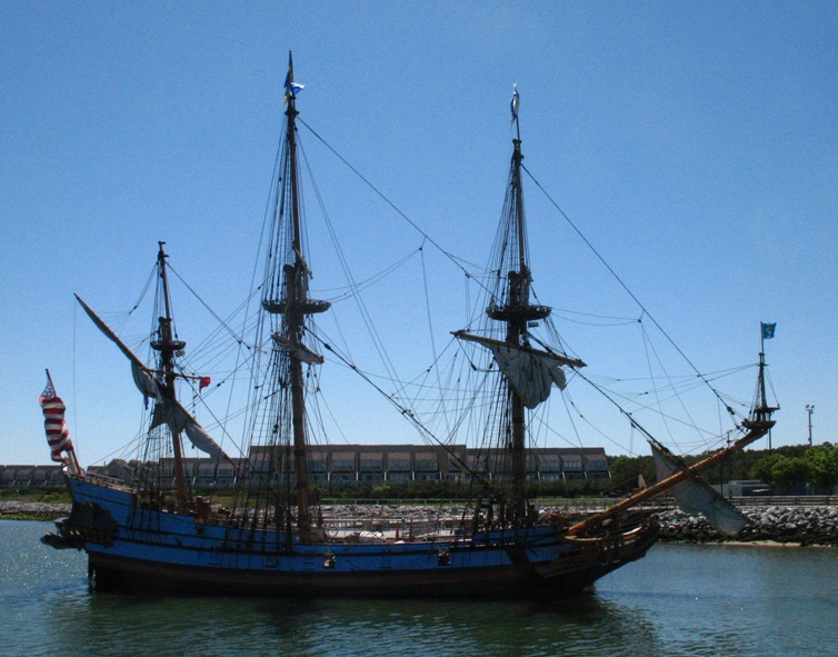
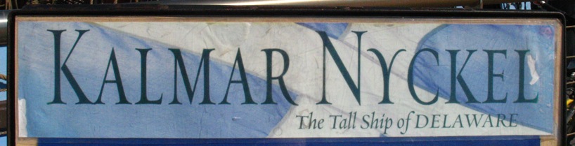
Naturally I walked over to investigate, and found this placard:
Chatting up one of the volunteer crew, I learned that this vessel is a replica of the original Kalmar Nyckel, a "pinnace" built in 1625 in Sweden and used to transport Swedish colonists to the New World. The vessel not being very "weatherly" (i.e. it can't sail close to the wind like modern sailboats) it could not take a direct route east-to-west across the Atlantic and had to follow the Trade Wind route so the wind would predominantly at her back ("abaft the beam"). This required a first leg from Europe to the Cape Verde Islands, thence across to the Atlantic to the Caribbean, and then arcing NW with the Trades to America. During the 1600's the original Kalmar Nyckel made more round trips to the New World than any other single vessel of the time.
Some construction details caught my eye. She is three-masted, the forward two masts square-rigged and the aft mast sporting a lateen sail (the diagonal spar shown here).
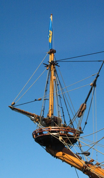
The forward mast and bowsprit are shown here, with a detail of the tiny mast on the tip of the bowsprit. Notice that at each "crosstrees" on each mast there is a round platform with a small railing, which you don't see on many tall ships. These were called "fighting tops", and were actually sniper platforms for use in close-quarters fighting. Turns out the famous British Admiral Nelson was ultimately killed by a musket ball from a fighting top.
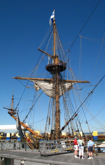
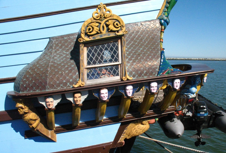
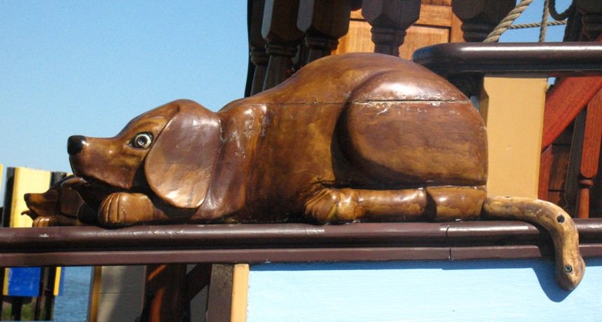
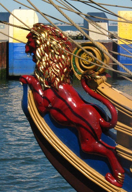
This boat had a tremendous amount of carving, I mean everywhere. I don't know how much weight it added to the boat, but enough I bet to adversely affect the boat's handling. Here are a few examples.
One other detail I must share is the lashings on the mast.
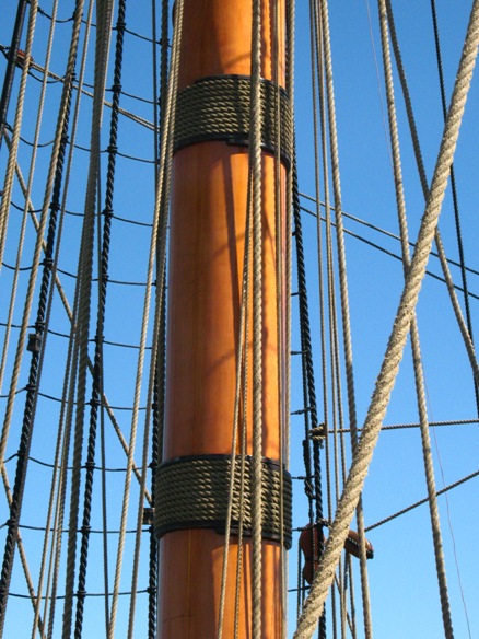
These lashings literally hold the mast together. It turns out that in 1625, in Sweden, available natural timber had been reduced through lumber harvesting to nothing but spindly toothpicks of trees, none large enough by itself to make a mast out of. (The same thing happened in the New World, but not until the late 1880's.) So the mast was made up of smaller trees carved into pie-shaped crossections that were tapered, combined, overlapped lengthwise, and glued and lashed together to make a complete mast. And, epoxy being nonexistent in 1625 (they probably used something like ground-up pigs' hooves), you can bet that the lashings were pretty important structurally.
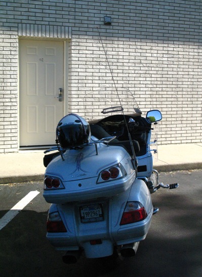
When we finally boarded the ferry, my bike got shoved in the usual corner.
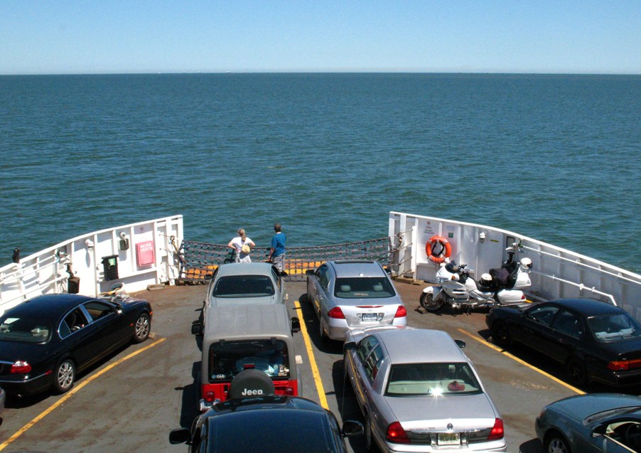
And off we went, soaking up sun on what was a rather cool day with a southeasterly breeze.
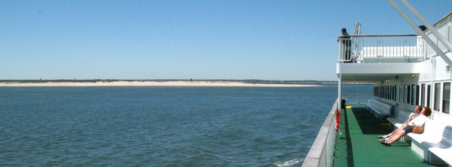
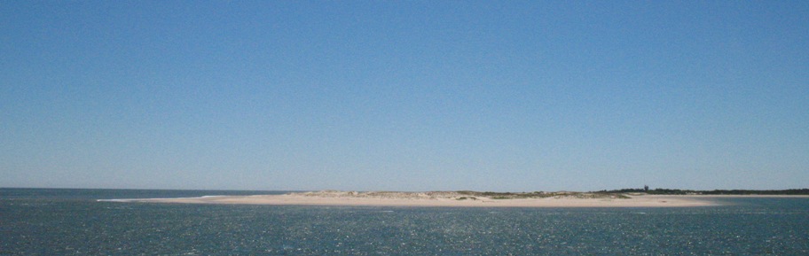
We left Cape Henlopen, New Jersey's northernmost point, to starboard as we passed --
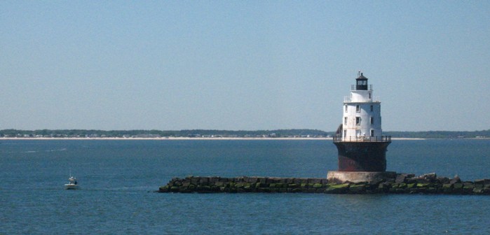
-- we left the breakwater and lighthouse to port -- (looks just like the Los Angeles Light in San Pedro) --
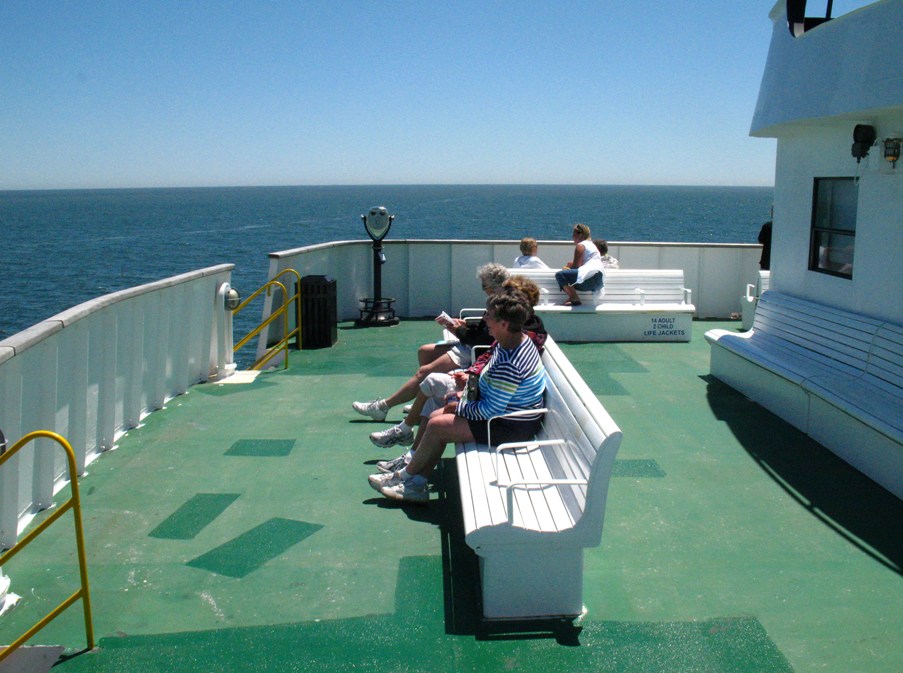
-- and settled down for the 75 minute passage. These ladies talked incessantly the whole way. I sat behind them in the shade.
We arrived at the Cape May terminal --
-- and I headed north to my hotel in Eatontown, NJ some 130 miles away. I started out along the shore and quickly realized that the entire 150 mile length of the Jersey shore was non-stop traffic lights and aging beach resorts, which I didn't need to see and would keep me from reaching my destination, so I returned to the Garden State Parkway (toll) and buzzed north as fast as I safely could. No photos. My hotel, when finally located (there were two locations a mile apart with the same address), was inexpensive, and deservedly so. The door to my room looked like a prison block --
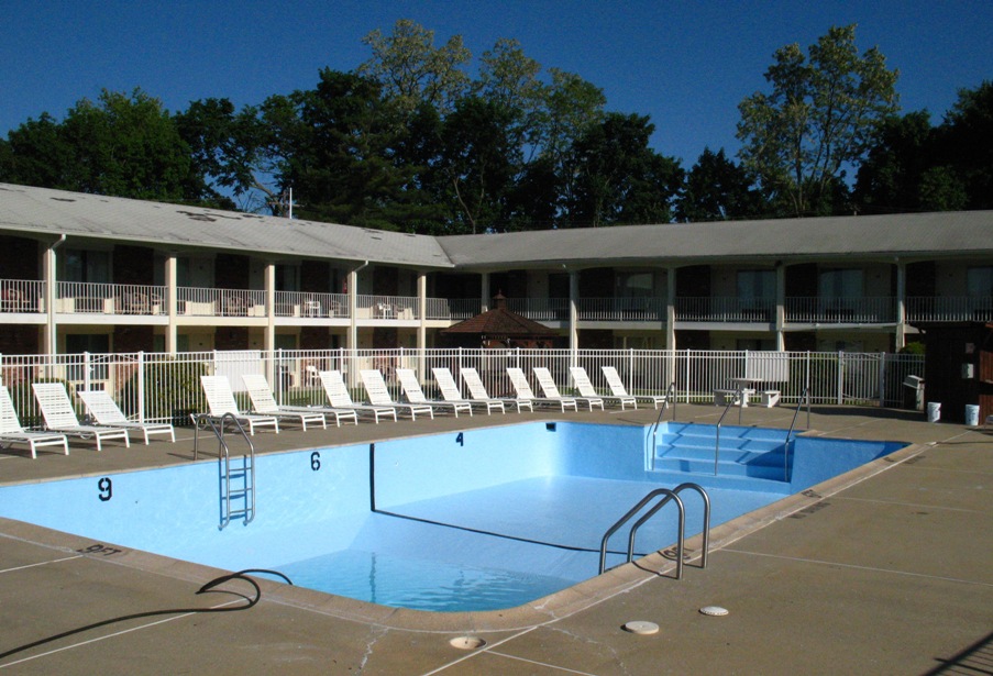
-- and while there was a swimming pool, it was clear I wasn't going to be able to use it.
The air conditioner was also falling apart, but I managed to reassemble it without tools, and I settled down for the night. Next day, JFK.
Friday 5/22/2009
Day 30
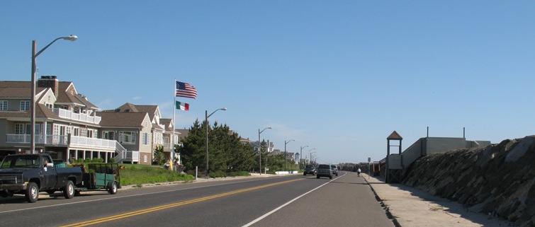
It was only 63 miles to my hotel at JFK airport and I had the whole day, so from Eatontown I headed east to Monmouth Beach, a popular upscale weekend retreat from NYC. Nice beach, but . . . why is the sun rising over the ocean? It's just not right.
From there I headed north up the coast toward Seabright Beach, the last community before Sandy Hook. This is a residential community built in a swamp. By now you've heard me talk about the structure of barrier islands, the progression of ocean-beach-dunes-swamp-lagoon, and this was no different except the homes were all built on fill in what used to be swamp -- which meant they were built roughly at sea level (because the lagoon behind the dunes is at sea level). In this area they had made an attempt to improve the longevity of their homes with this artifice.
Yes, that's a stone and cement wall about twelve feet high. From up on top it looks like this.
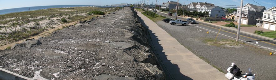
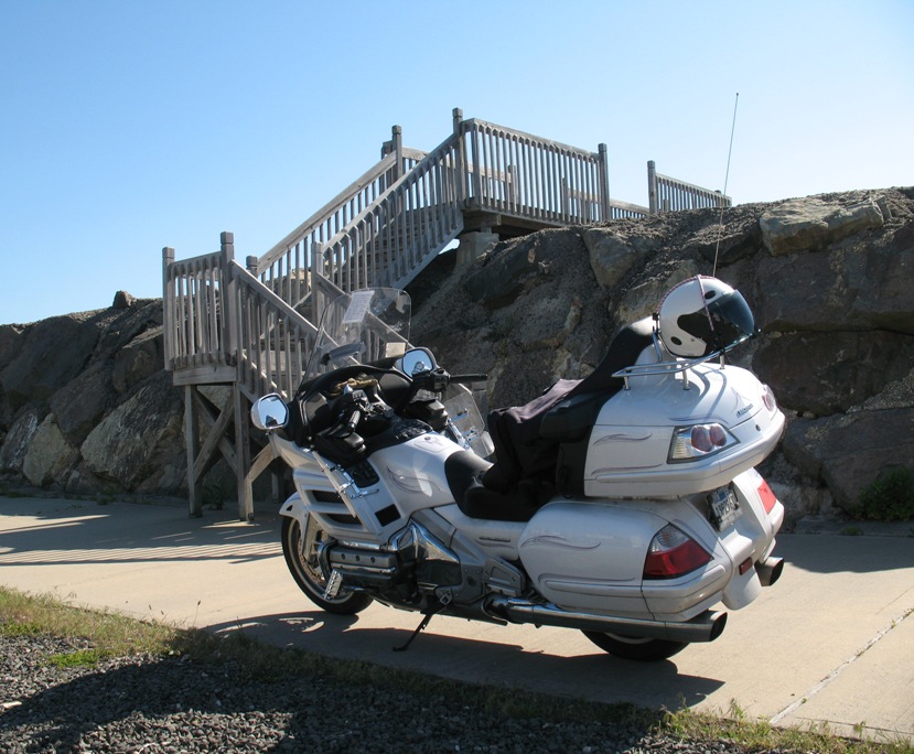
Periodically this structure had a wooden stair going up and over it to provide beach access.
I don't think I'd be entirely happy looking out my front window at this breakwall. I think I'd be uncomfortable. On the other hand, the folks who live on this side of the country (when I talk to them) generally think I'm crazy to live in California where there are earthquakes, fires, and mudslides on an annual basis. To each his own, I suppose.
From here I continued north to explore Sandy Hook, on a dead-end road along a forested sandspit several miles long. Here's an overview of Lower New York Bay showing Sandy Hook, lower center right, taken off Google Earth.
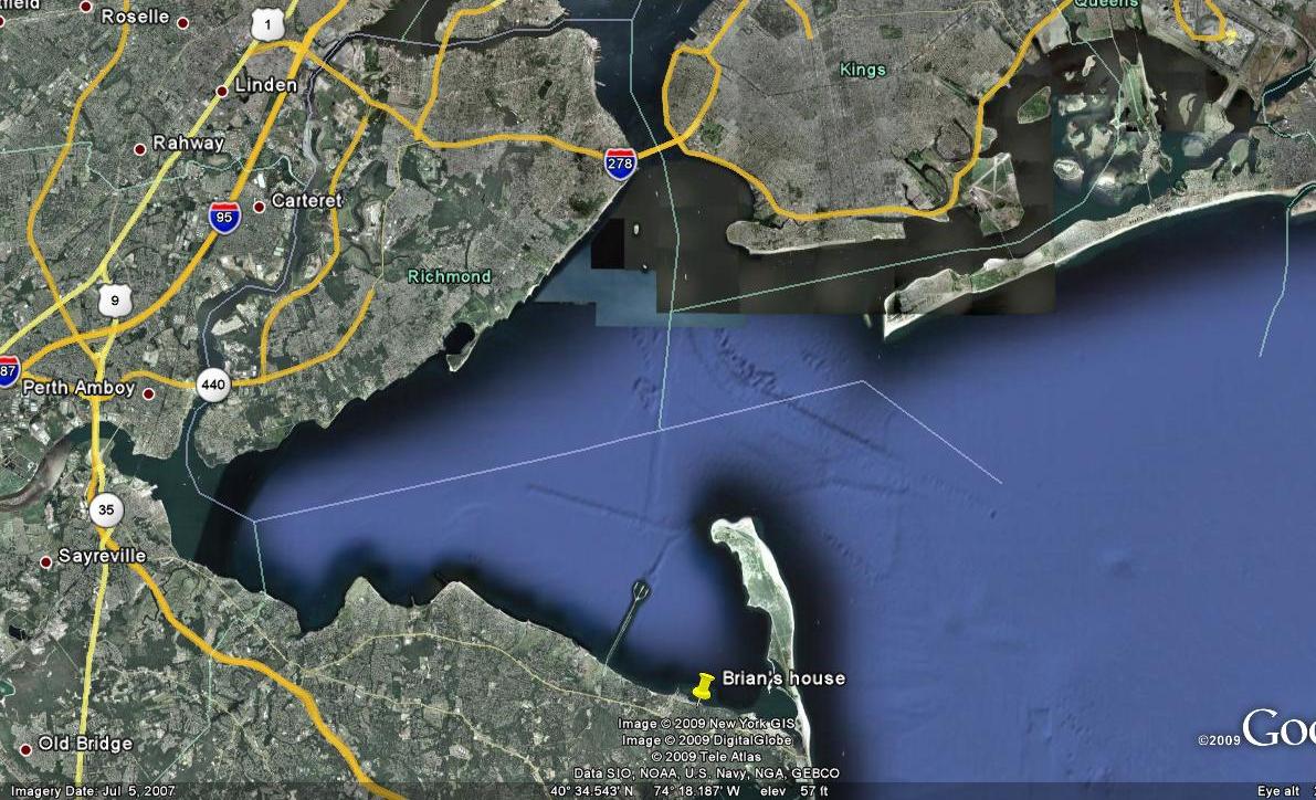
(Don't worry, I'll explain the "Brian's house" label shortly.)
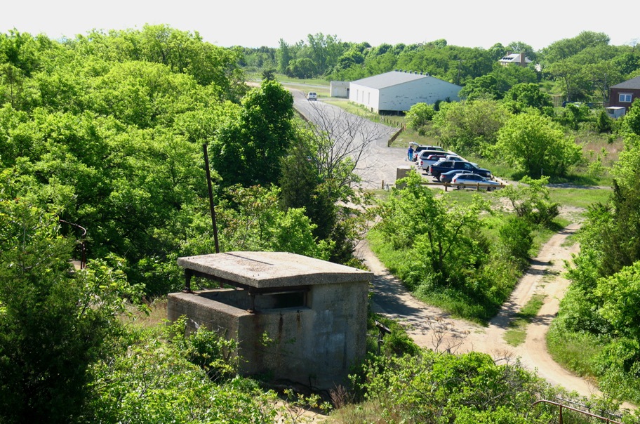
Sandy Hook is a National Park as well as a working military installation. The national park commemorates and preserves past military installations as well as the environment. There is quite a long line of old lookout posts and gun emplacements along the NE shoreline, which now are heavily overgrown and decrepit to the point that visitors are not allowed inside them. They remain unrestored.
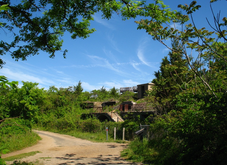
There are views of New York available at the far northern end of Sandy Hook. The road ends near an elevated observation platform, popular with birders.
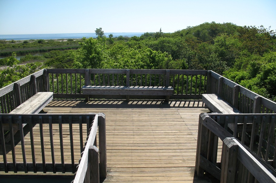
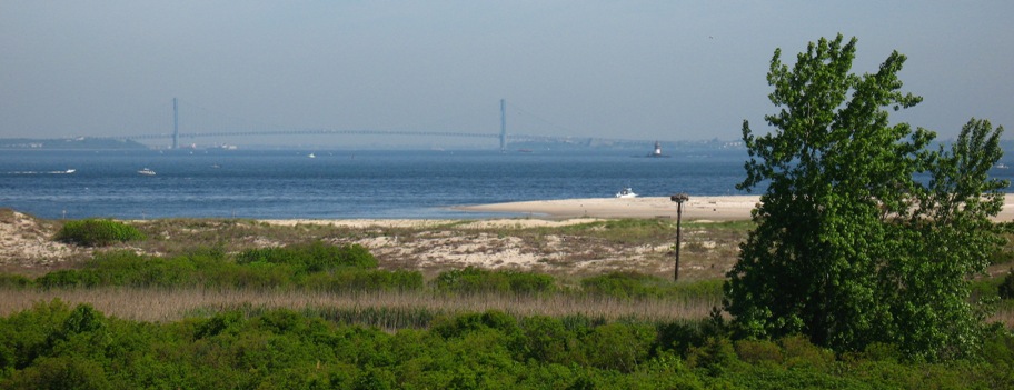
This view is to the north, with the Verrazano Narrows Bridge in the distance. This bridge is the one right next to the Interstate highway "278" symbol at upper center on the Google Earth image above.
That platform on a post to the left of the tree is an osprey nest. According to two birders who were there on the platform when I got there, about 25 yards to the left in the grass the mother osprey was tearing apart a recent kill and flying scraps back to the nest to feed her new chicks.
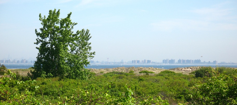
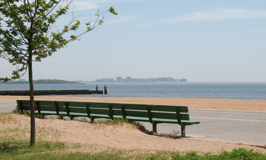
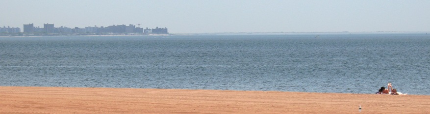
Further to the right the view is of Coney Island/Brighton Beach, about 15 miles distant.
Behind the platform, blinded now by new growth, is a former military observation structure that *used* to have a clear view!
Moving on to the west from Sandy Hook, I had plenty of time and decided to meander the residential roads and streets close to the shore and see what I could find. Not far from the southern tip of Sandy Hook the land rises to "significant" elevations (a couple hundred feet), giving the area the feel of, say, Palos Verdes Drive West in Los Angeles. This area is known as Atlantic Highlands. Along the way I found a spot where I could get a clear-ish view of the water and New York at this house, which belonged to a guy named Brian.
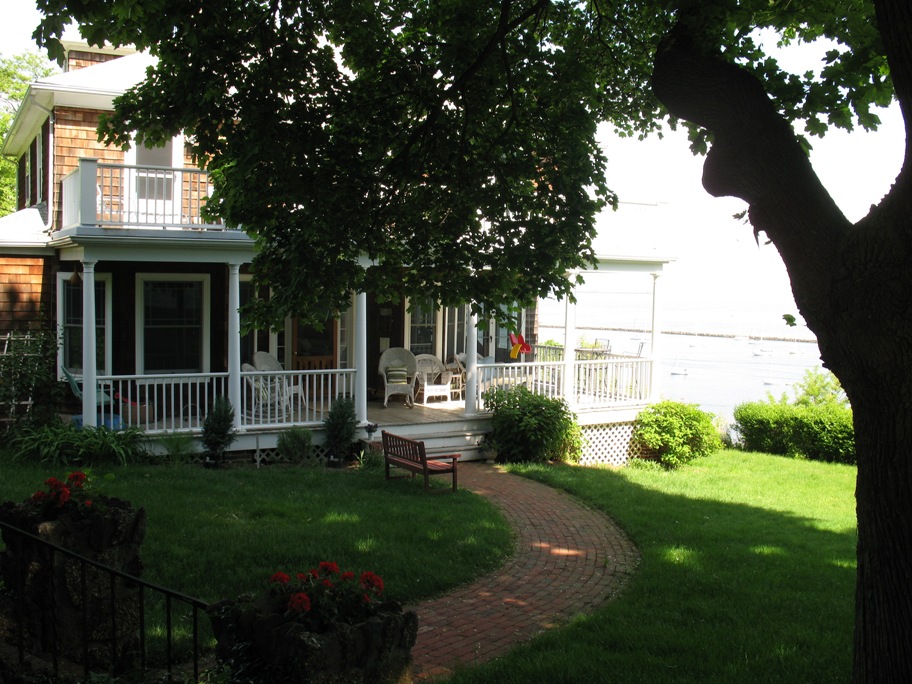
Here's the view from his property. Pretty nice!
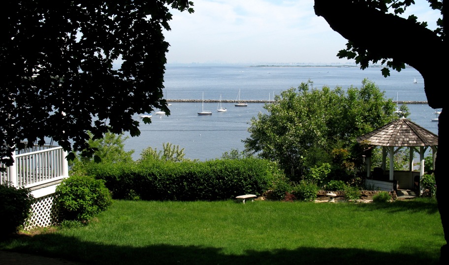
I saw this and decide a telephoto shot was in order.
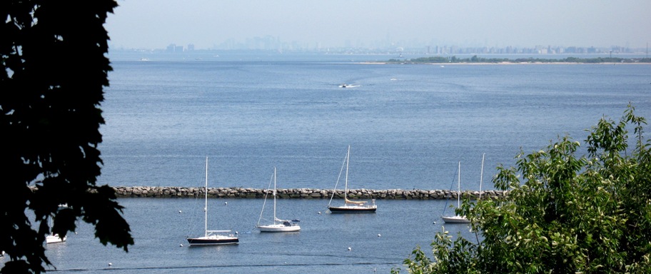
Here you can see a small mooring field (and some pretty nice boats) in the foreground, followed by the northern point of Sandy Hook, and then Staten Island to the left and Coney Island to the right, behind Sandy Hook (refer back to the Google Earth view above, where Brian's house is labeled).
What is not so clear here, but visible with some augmentation, is Manhattan appearing as ghostly skyline above and behind everything else.
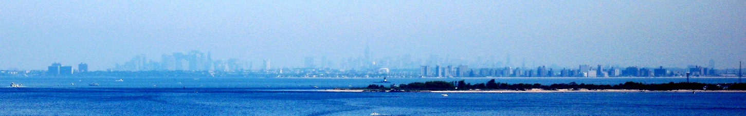
My attention was drawn to Manhattan by Brian himself, who had wandered out his front door to see what the heck I was up to. I told him, and when the part came out about having ridden there on a motorcycle his demeanor shifted, he came down his porch steps and up the walkway to the sidewalk saying something like "This I've got to see". Turns out he's more-or-less bicoastal, and is familiar with the LA region and even PV Drive West, to which I compared this spot. He pointed out the Empire State Building and the Wall Street complex, and we chatted awhile until he needed to get back to work.
At Brian's suggestion, since I had plenty of time, I took coastal surface streets all the way to and through Staten Island, returning to freeways at the Verrazano Bridge for the final few miles to JFK airport. This is what the views look like from the south coast of Staten Island.
That's the west end of Coney Island in the distance. Below, a couple of young ladies enjoy the beach on a Friday early afternoon. This is an area of very quiet water, as it is protected from all directions except southeast. This photo was taken from a spot on the beach to the right of the word "Richmond" on the Google Earth view.
JFK airport, by the way, is located at the far upper right corner of that view, on the northeastern shore of swampy, island-filled Jamaica Bay.
My hotel was located right outside the NW corner of the airport, and as I write this my motorcycle is there, locked, fork-locked, covered, under a protective building overhang, and cable-locked to a post, awaiting my return tomorrow (today is Monday 5/25, Day 33), at which time the adventure resumes.