Update 09
Sunday 5/31/2009
Day 39
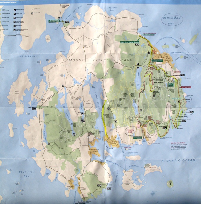
I took a lot of pictures this day, and even though I've culled them down, this may be a one-day update. On this day I drove the entire perimeter of Mt Desert Island -- slowly, stopping along the way, and with all the coastal indents that's about 100 miles. Let's start with an overview. The island's connection with the mainland is a causeway over shallow Mt Desert Narrows, upper left, navigable only by small motorboat. The bridge is too low for sailboats. My loop went clockwise around the island. Bar Harbor is at the upper right (northeast), with those offshore islands that you've seen covered in fog. My motel was at the top of the island, just east of center, on Route 3.
Starting clockwise along the coast toward Bar Harbor, this home has a great location.
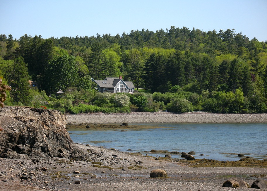
This is the sort of view it's got.
A closer look.
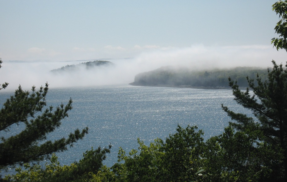
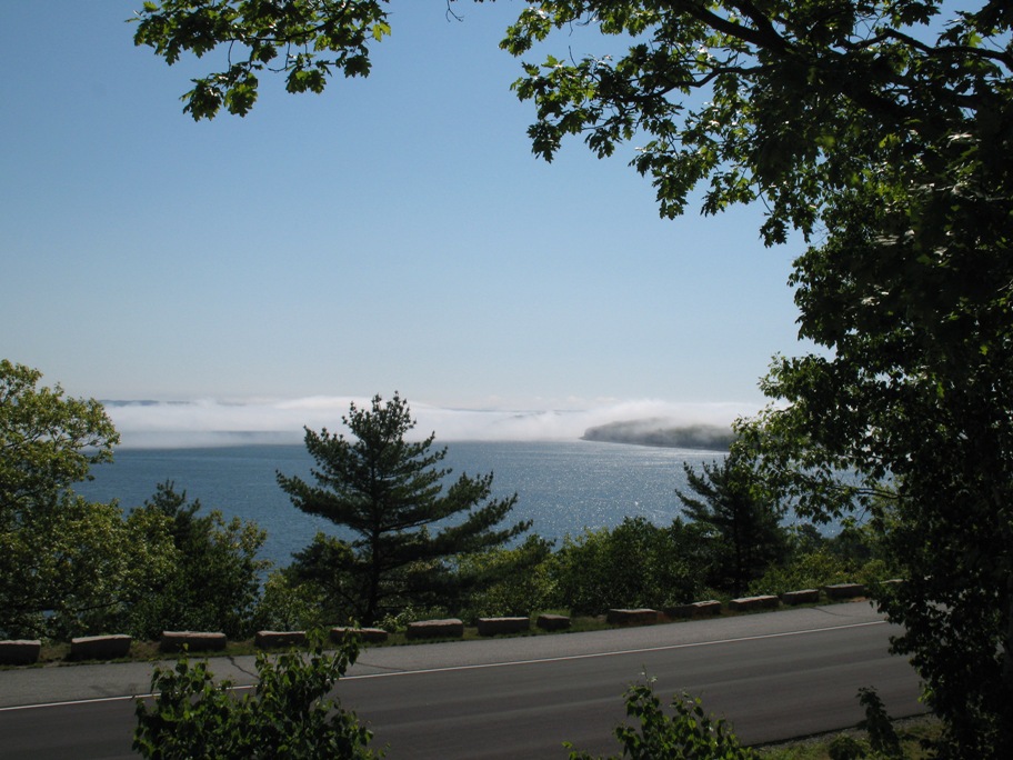
Moving on up the hill above (SW of) Bar Harbor toward the NP Loop Road, this striking view appeared.
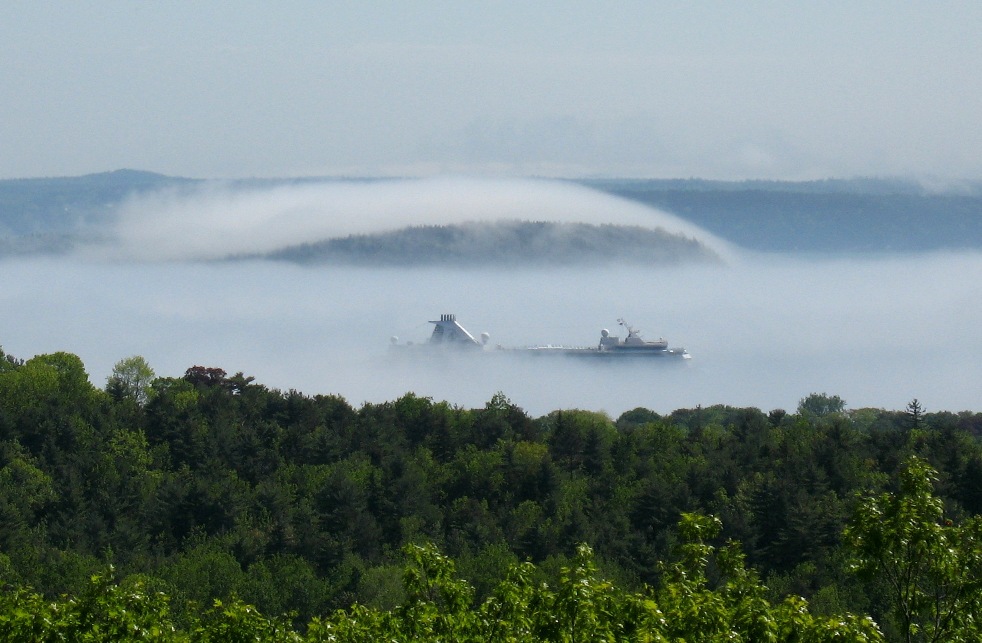
Yes, that's a visiting cruise ship protruding above the fog layer.
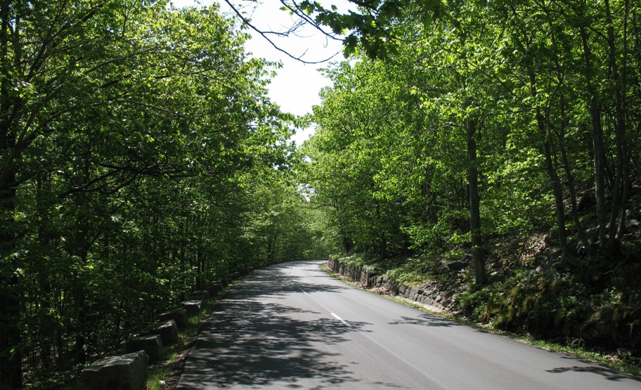
The road is in bright sunshine that mercifully presided all day.
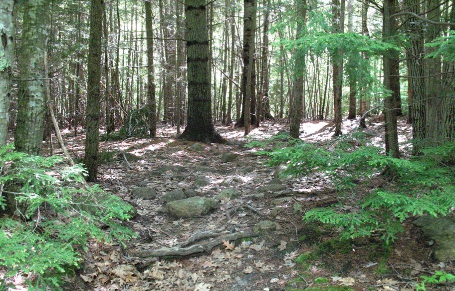
This is the beginning of the trail up the east side of Cadillac Mountain (1.9 miles, 1500 feet).
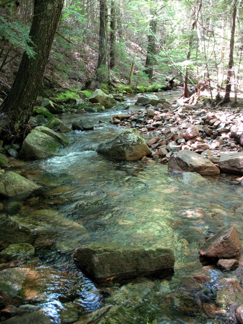
This creek was nearly hidden. The road goes right over it but it's invisible. I stopped to consult my map and heard it down in the hollow.
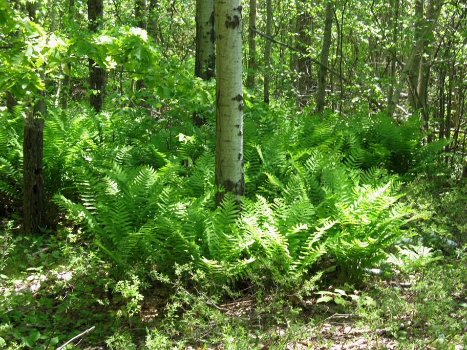
Ferns grow around a tree in one of the sunnier areas. In dense forest, nothing grows on the ground because the canopy blocks all the sunlight. The trees' lower branches die as new growth extends above them (see two pix up).
From the shoulder of Cadillac Mountain the 151 foot schooner Margaret Todd could be seen sailing among the Porcupine Islands.
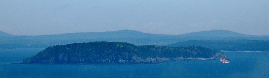
Here's a better photo of the boat.
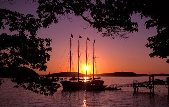
Photo by Greg A. Hartford
Image found at: http://www.acadiamagic.com/bar-harbor/bar-harbor-18.html
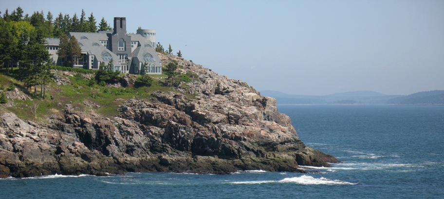
Around the bend southeast of Bar Harbor is picturesque (and privately-owned) Schooner Point. See what's on that rock?
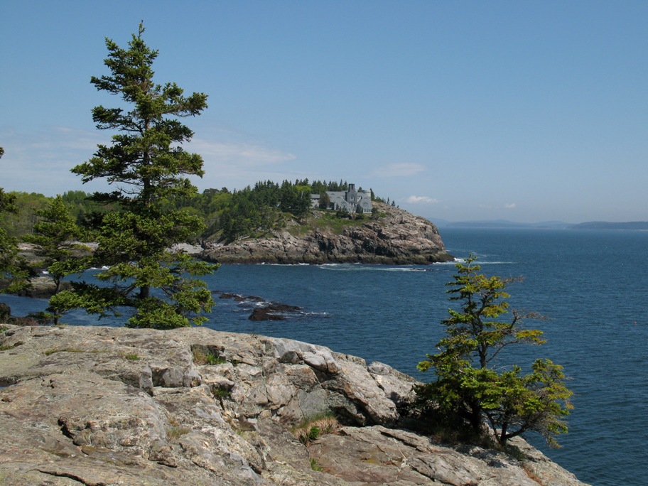
Someone has more money than you or me. Do you know how far this house is from a good building supply?
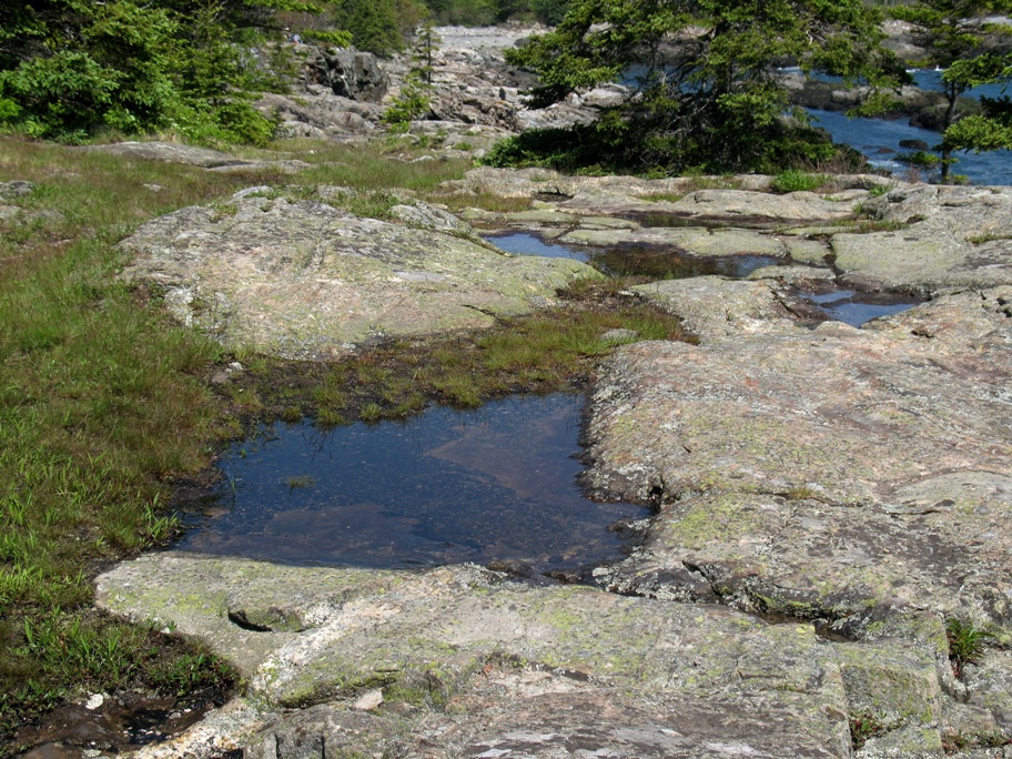
As I took these pictures, the image below was at my feet. I mention it because I was standing about 30 feet above sea level. I am very familiar with this confluence of rock, meadow, and water -- in the Sierra Nevada at elevations between 8500 - 10,500 feet! The parallels don't stop there. Both have a spring-summer-fall "season" about five months long. The rest is winter, when snowfall and temperatures are also similar. Here we have alpine conditions at sea level -- complete with boating. This is what makes Acadia National Park so interesting.
I should mention that Acadia was the first National Park east of the Mississippi, and the only one entirely constituted from private land donations. Eminent Domain was not used to create this Park, which only covers about half of Mt Desert Island plus some small areas elsewhere. On the map above, the green areas are National Park.
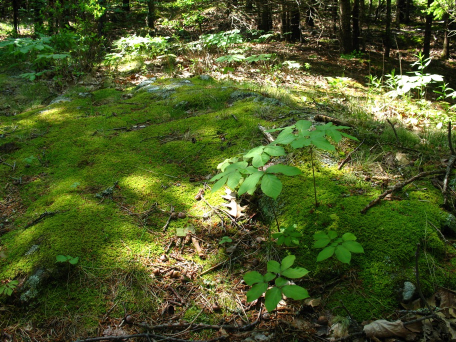
A few steps away, under the trees, I found this mossy embankment.
Not much farther along, still on the east side of the island, was this beach.
Called Sand Beach, it is a Big Deal on this island, being the only sand beach there is. It is WAY popular. I saw the crowd in the parking lot (beach towels, bathing suits, beach chairs . . . ) and I just rode on by. I've got that back home, minus the ten foot tides.
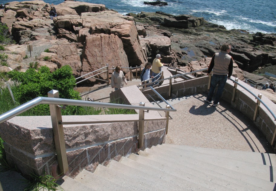
This brought me to Thunder Hole (known among old timers as "Old Soaker"), a wave-carved underground cave that reflects the swells with a *whump* and a lot of spray.
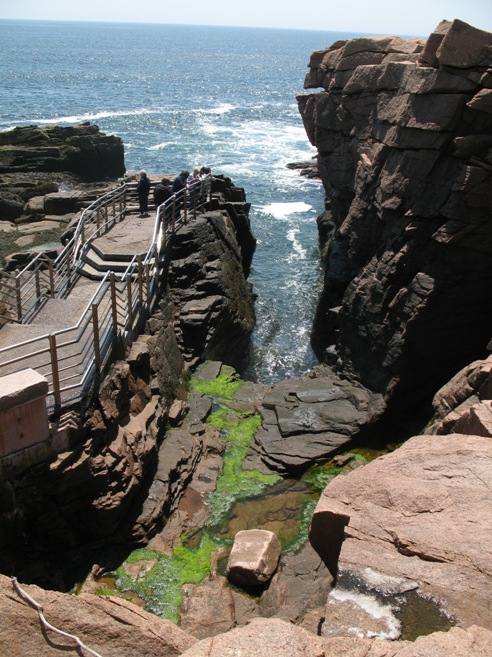
The railings here are 316 stainless steel, with stainless steel welds and fasteners. No steel resists rust better and yet is still weldable. Ya think this is a salty environment?
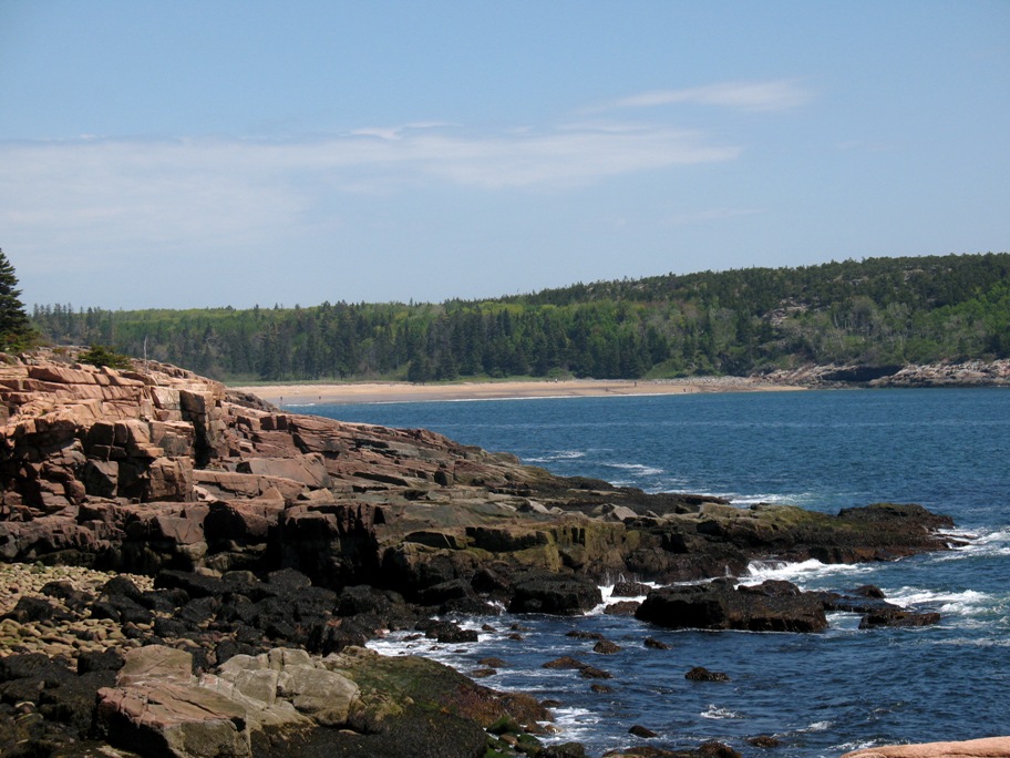
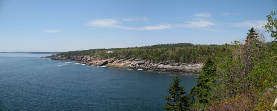
As I bent around to the southern reaches of the island, this pan gives you an idea what life is like out here. First, notice that there are about five houses in the whole photo. Not everyone wants to live here. Second, look how far bare granite extends above the high tide line. Nothing grows there. Third, recognize that the tidal range here is ten feet (and the picture was taken at low tide). How big do you suppose the waves are on this shore during storms?
The sun followed me around the bottom of the island . . .
. . . past Seal Harbor to the shore opposite the town of Northeast Harbor . . .
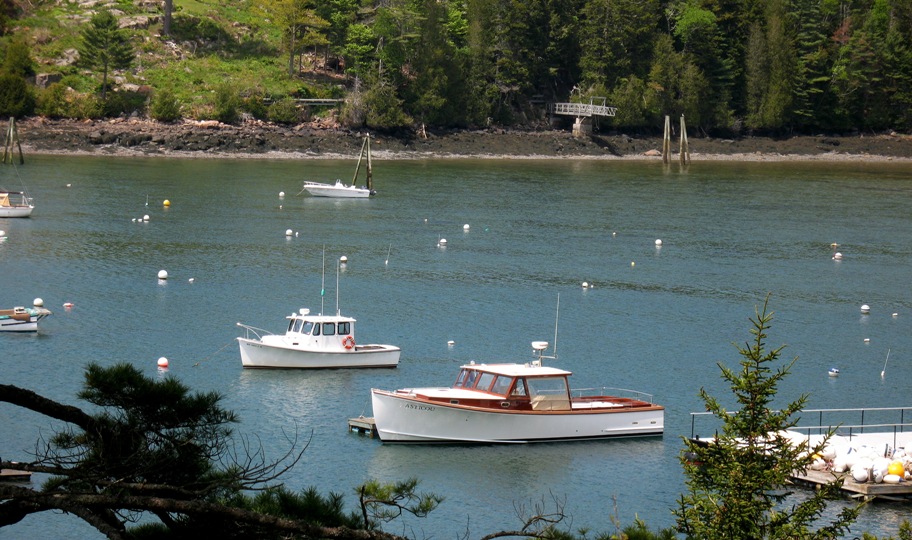
. . . where these two lobster boats, one old and wood, one new and fiberglass, tell you lobstering is a major industry all along this coast and has been for a long, long time.
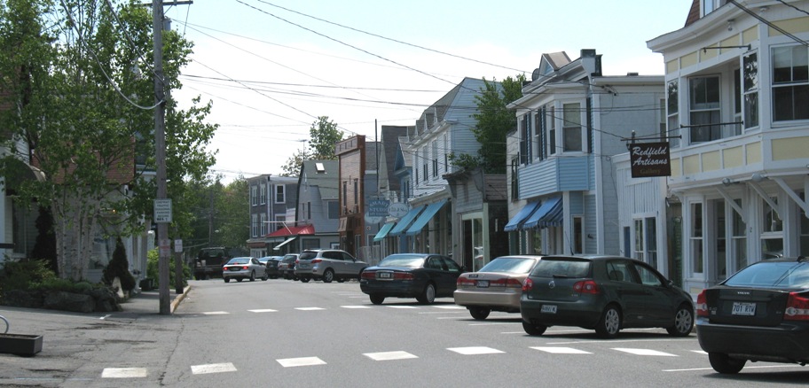
I passed through downtown Northeast Harbor . . .
. . . and headed up the west side of Somes Sound (you're looking north in this shot. The bike is turned around).
As I was going down the east side of Somes Sound I took a turnoff for Echo Lake -- which is part of Acadia NP -- and found this sign.
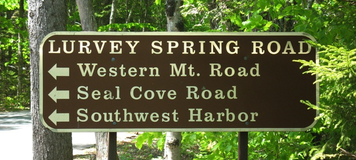
Hmm. Southwest Harbor. Where I intend to have lunch. Is this a back way in?
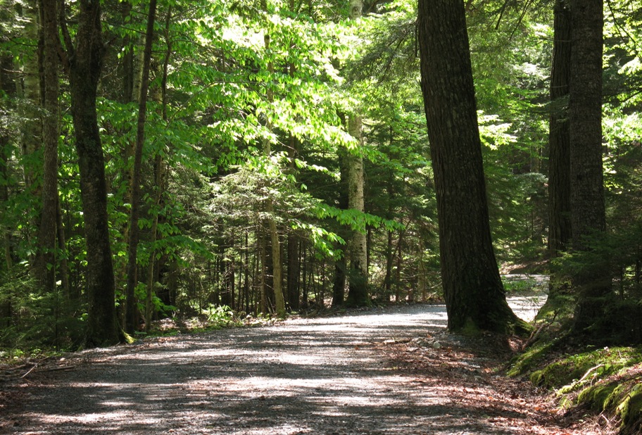
Dirt and gravel. On my thousand pound road bike. I gave it about two seconds' thought!
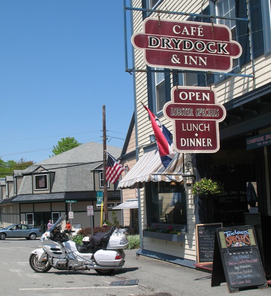
Lurvey Spring Road was lovely, and did indeed (after numerous consultations of my iPhone's GPS) bring me to Southwest Harbor, where I found this spot to get a nice Cobb salad for lunch.
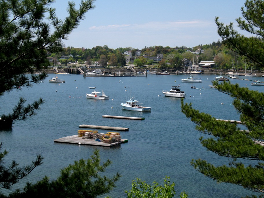
Just past the town I found this overlook of the harbor, which is quintessential coastal Maine, right down to the bike tourers fagged out on the grass off to the right.

At this point it was already 2:30 pm and I still had half an island to ride, so I put the camera away and got to it. Made it back to the hotel before dark.
And that's it for this update. One day, one update, I can't keep this up. I gotta find some less photogenic areas to ride in!