Update 10
Sunday 6/1/2009
Day 40
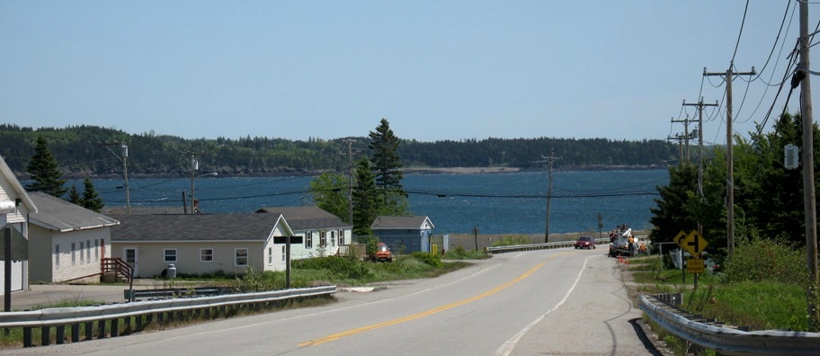
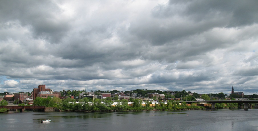
The 117 miles from Mt Desert Island to Eastport had the feeling of going to the end of the Earth, but it was just the end of the US. It was all quiet 2-lane road set in about 10 miles from the shore because of inlets and bays. Part of the feeling came from the increasingly large tidal range. Keep going east and you soon get to the Bay of Fundy, known for tides up to 50 feet, though this day they were only 34 feet. Tides in Eastport were 18 feet the day I was there. Another part of it came from the diminishing road traffic. The rest of the world, it seems, stops going east around Bar Harbor.
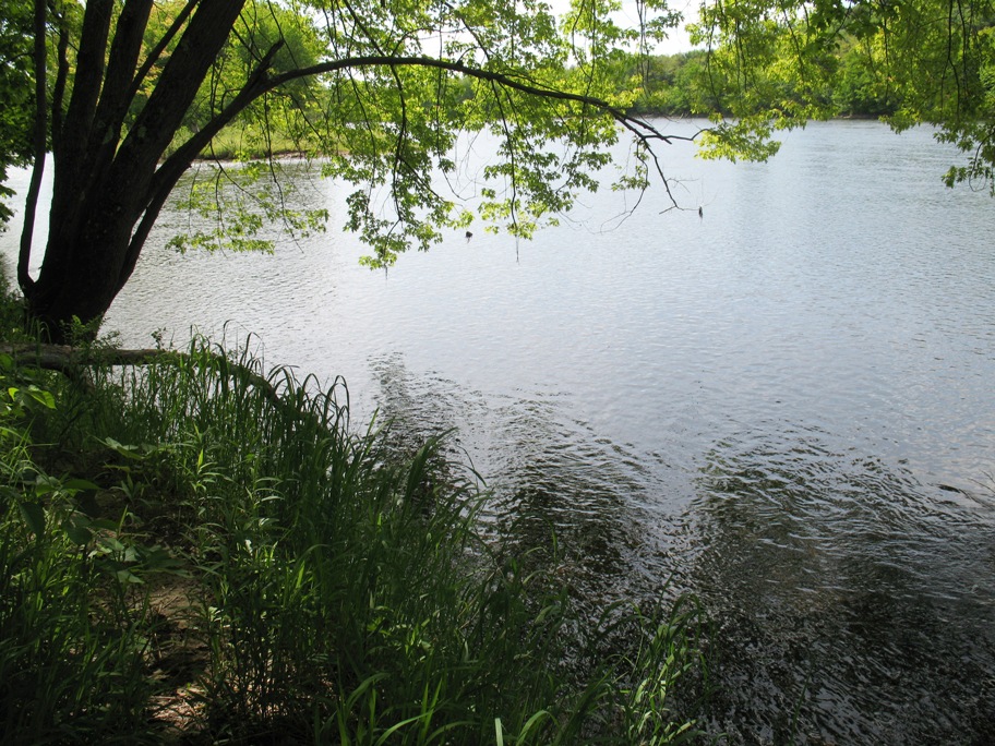
The higher tides meant simply that the tide could reach WAY back inland up creeks and inlets. In this area, on an outgoing tide the creeks run fresh water downhill, whereas on an incoming tide they run salt water uphill. The result is creeks that look like this on a falling tide, ten miles from the ocean.
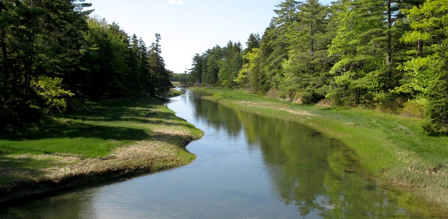
The shore here was super gooshy -- I tried walking on it. Upstream (behind me) about a tenth of a mile is a brackish lake. Oddly, the trees don't seem to mind the salt.
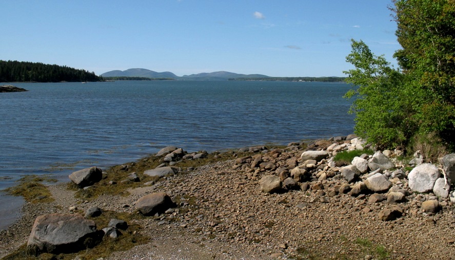
Down one inlet I was able to get a glimpse of Mt Desert Island. The distant high point left-center is Cadillac Mountain.
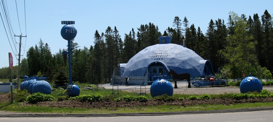
This area, at least in the minds of the locals, is known for blueberries. One of the towns along the road considers itself the "Blueberry Capital Of The World". Then there was Wild Blueberry Land.
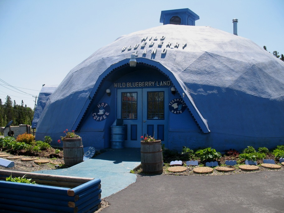
A closer look reveals that the blueberry theme pervades this place, right down to the cockeyed planter borders.
This is almost too much of a good thing. I'd have stopped for the coffee at least, but they weren't yet open for the season.
The bog-fruit theme continued.
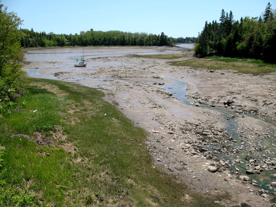
The next vista started me wondering just how big the tides were around here. I hadn't looked it up yet, but this was looking more like Anchorage, Alaska than anywhere else I've been.
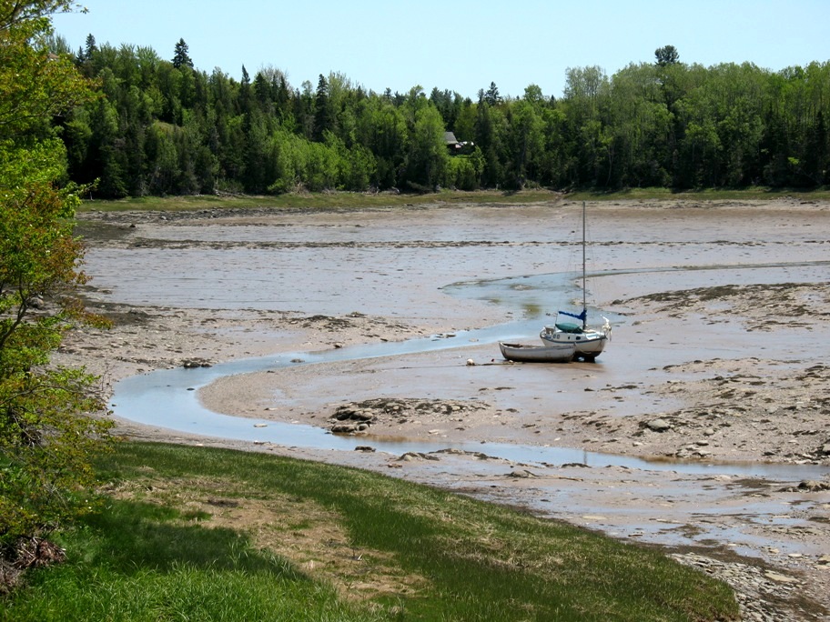
That's about a 30 foot sailboat there, twin-keeled to sit on the mud. But this empty slough was huge. Way in the distance, way below where I'm standing, below a several-foot dropoff, there's some actual water.
I finally reached the Eastport town limit . . .
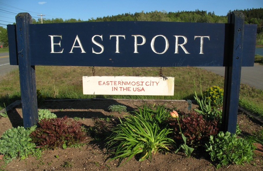
. . . and a few blocks further, the easternmost edge of the Easternmost City, right where that car is. The Canadian border is a couple hundred yards out in Passamaquoddy Bay. The next morning I took a sunrise picture from that spot. At the suggestion of my cousin Randy I will bookend that with a sunset picture from El Segundo on July 30th, the scheduled end of this trip.
By the way, I haven't figured out how Eastport can be the Easternmost City, since three miles south, on the barrier island, the town of Lubec, ME extends about two tenths of a mile farther east. Of course, it's 40 miles away by car (or, alternatively, the ferry over to Deer Island in Canada, visible above, then down to the Lubec Bridge). Maybe the two towns don't talk much. Maybe Lubec's a "town, not a "city".Still further south, another three miles, is the actual easternmost "point" of the US (Quoddy Head), but that's not a "city" either (nor even a town).
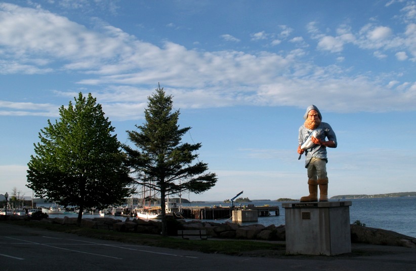
I passed thIs guy on the way into town . . . (they take their fishing seriously here)
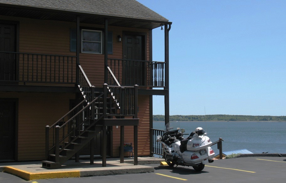
A few blocks further I parked right below my upstairs motel room door (the Motel East, appropriately), with a view across to Canada. This is not a resort town. The shoreline is not landscaped and sanitary. This is a working fishing and shipping town. Lobstering and seine fishing are big. Everywhere there is serious labor going on.
So, sitting there on my bike taking in the view, I thought "Gee, maybe I should retire these gloves." I've been riding with them since before I bought this bike, and at this point that would be about 15,000 miles. They're a bit the worse for wear, and I do have two fresh pairs in my luggage. Whaddya think?
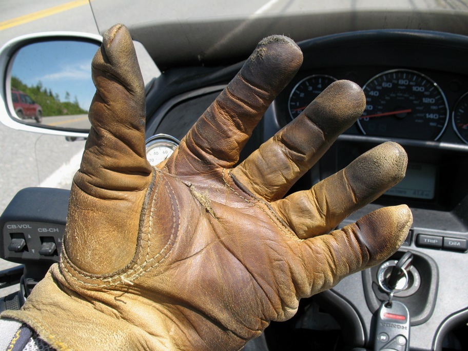
As of this writing (June 5th) I'm still wearing them. I mean, they still work . . .
After dinner I took a ride around town and found this.
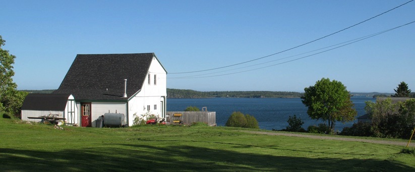
This house is FOR SALE, my friends. You could live here tomorrow. Great view, looks right down Passamaquoddy Bay toward the ocean. You could put in a pier. (A really tall pier.) I did not see a multitude of prospective buyers, so I'm thinking you could get it cheap. And there's not a single thing wrong with the place, if you don't count the lack of cell service and eight months of the most godawful winter each year.
I'm a sailor, but even I think snow and salt water don't belong together:
Monday 6/2/2009
Day 41
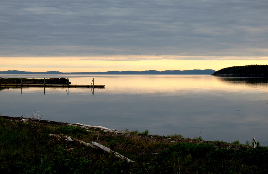
This was a workmanlike day, 155 miles, just get it done and move on. Overcast and chilly, but dry, so no complaints. I was up at 5 am (it gets light early this far east in a time zone), and left town early enough to catch the sunrise, which was, unfortunately, somewhat hampered by cloud cover.
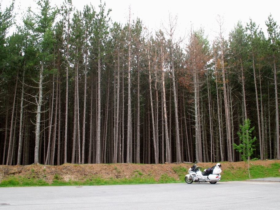
This will give you an idea of the forest in eastern Maine. I walked into it to relieve myself. and was besieged by bugs. It was a very short visit. Notice this photo is taken from far away.
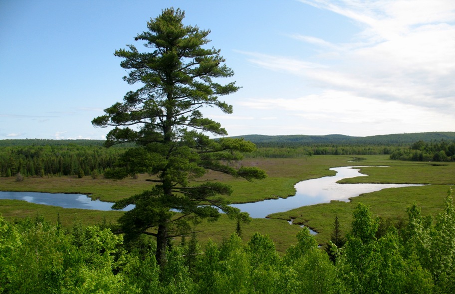
I guess that's because there's water everywhere you turn. The hotels still have those silly little signs imploring you to conserve water and "Save The Planet", but trust me, Maine is not endangered where water supply (or bugs) is concerned, as this photo attests.
Last picture: Bangor, Maine.
I stayed overnight west of Bangor in Newport, in an ancient one-story motel behind a gas station/auto repair. Pray's Auto Service and Pray's Motel. Both would have been perfectly at home in 1965. Fer gosh sakes, the man used a card imprinter on my AmEx card invoice! The words "quaint" and "cozy" come to mind. (Actually, "quaint" came to mind a lot for the next 400 miles.) But it did have wifi radiating weakly from the motel office located in a back room of the gas station.
Tuesday 6/3/2009
Day 42
This was a moderate day of 179 miles that was serially "cute" and "quaint". Actually it grew on me in a calming, narcoleptic sort of way. For the residents I expect the narcolepsy of this brief spring-summer season is tempered by the other eight months of the year. Not too many people were out enjoying life. Most seemed to be busy either fixing what broke last winter or preparing for next winter. Winter defines summer here. It's the brief "not winter" part of the year. You can feel it in everything and everybody. NO ONE is laid back. A huge amount of chopped wood was evident, and by huge I mean 8-10 cords per house, where a cord is 128 cubic feet (4 x 4 x 8 feet). I saw a couple houses that had close to 2000 cubic feet (16 cords) of wood stored, by my eyeball estimate. These people do not plan to be cold next winter, and they're doing something about it now.
For a good few miles the road (US Highway 2) follows the Androscoggin River.
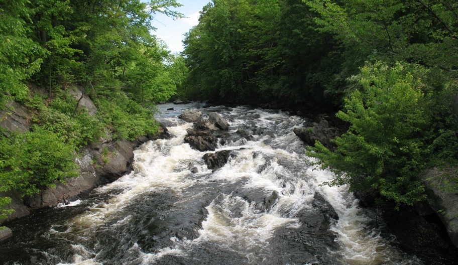
In Dixfield, ME the Webb River comes roaring down from the north . . .
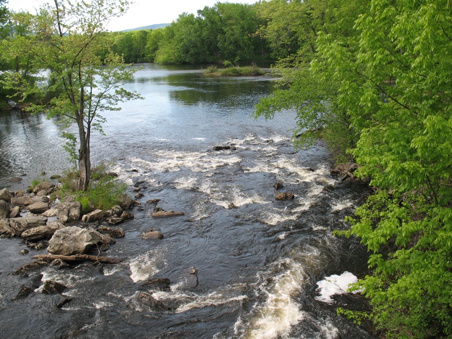
. . . goes under the Highway 2 bridge and ends flowing placidly into the Androscoggin.
Umm, OK . . .
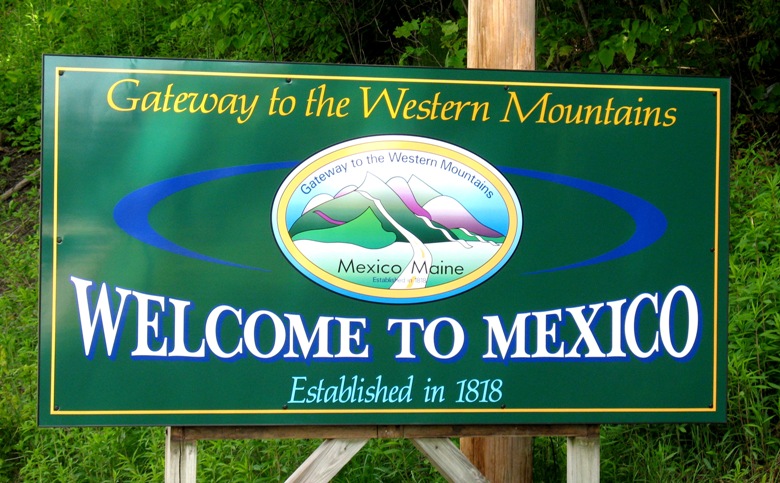
There's also a Mexico in New York, if you're curious.
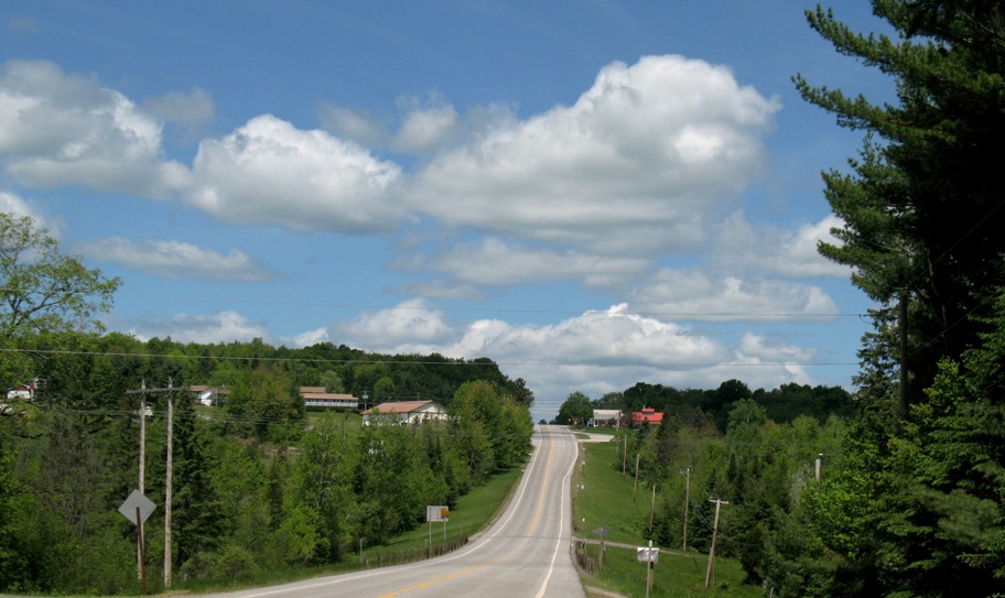
Here's a typical stretch of US-2 going west as the Adirondack Mountains begin to rise slowly from the Earth.
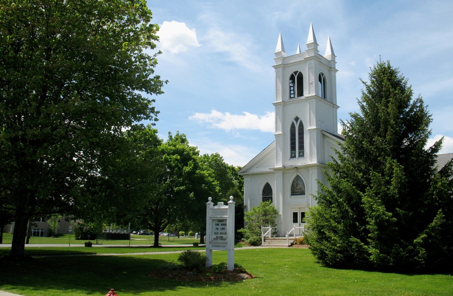
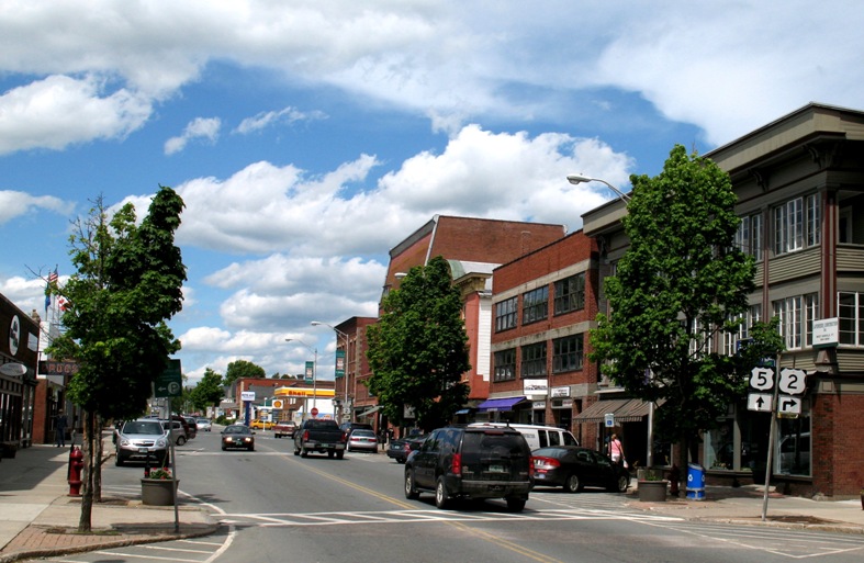
White, steepled churches are everywhere. This one's in St Johnsbury, VT, my destination for the day.
I had lunch in Dylan's Cafe in downtown St Johnsbury (which I'm going to get tired of typing soon). Dylan's had good food -- I had a salad, always a test of a restaurant -- and abysmal service, the latter thanks to a couple high-school-age girls who apparently thought they were in their own homes servng their little brothers while the parents weren't looking. The parents were cooking while the girls ruined their chances of success.
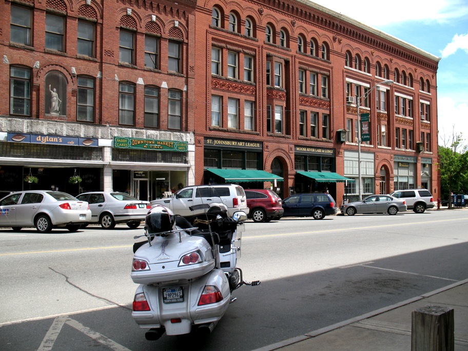
Looking the other way in St J. Cute. Quaint.
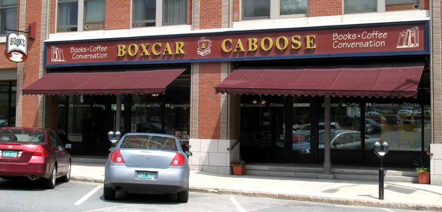
This pic is just for my daughter Roxanne, who is a book and coffee junkie. Tania likes books too, but hasn't got the same coffee jones.
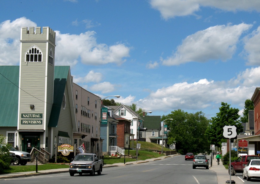
A more modern part of St J. Health food? I had no idea this place was so progressive.
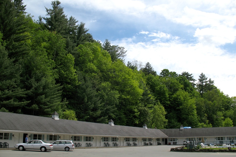
And here's the Holiday Motel where I stayed (my bike's way down at the end). Lotta big trees here. Also, judging by the parking lot, which is big enough for three or four times the number of rooms they've got, land must be cheap.
Man I'm getting tired, and I've still got two days to go in this update. 27 more pics to sort, cull, edit, resize, and insert. Lemme see . . . yes, it takes 9 discrete actions to paste a pic in this site, and that's after editing it so it's ready to be inserted. Time for a break.
~~~~~~~~~~~~~~~~~~~~~~~~
(hours later) Ah what the heck. Let's post this thing. I'll scan it for typos another day.