Update 12
Thursday 6/4/2009
Day 43 (21 days to Lynn's arrival)
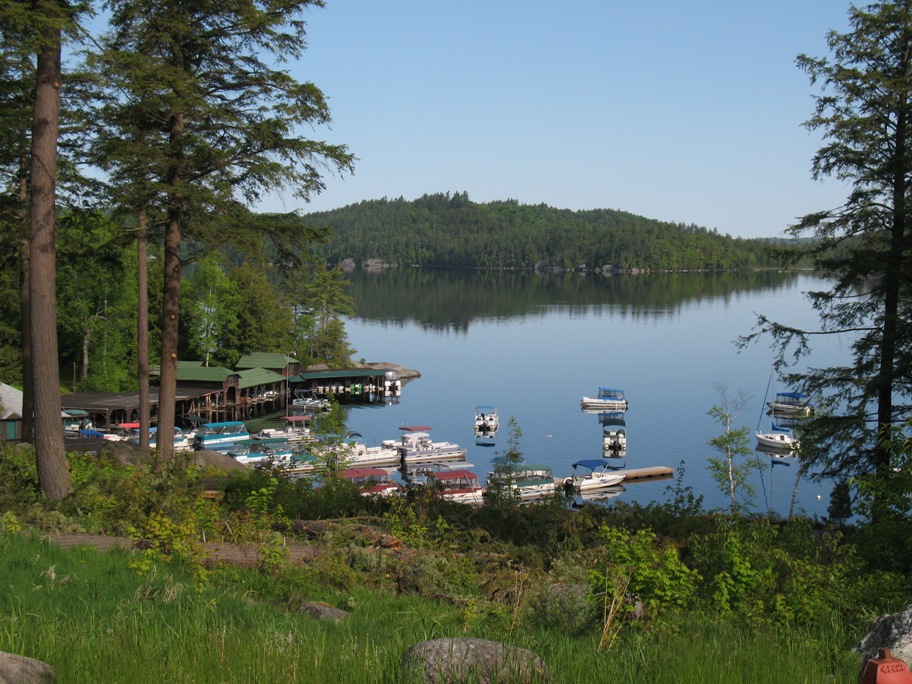
St Johnsbury, VT to Lake Saranac, NY, 143 miles
These next three days kind of run together in my mind because of their similarity, or maybe I should say that in a region with so little topographic relief, geographic variation, or change in flora, small differences are what distinguish one area from another. I have to say, though, that as a native-born, life-long California resident, I feel as if I shouldn't have to look at my odometer to see if I've gone anywhere. I expect to be able to look at the land and know where I am. You can't do that here.
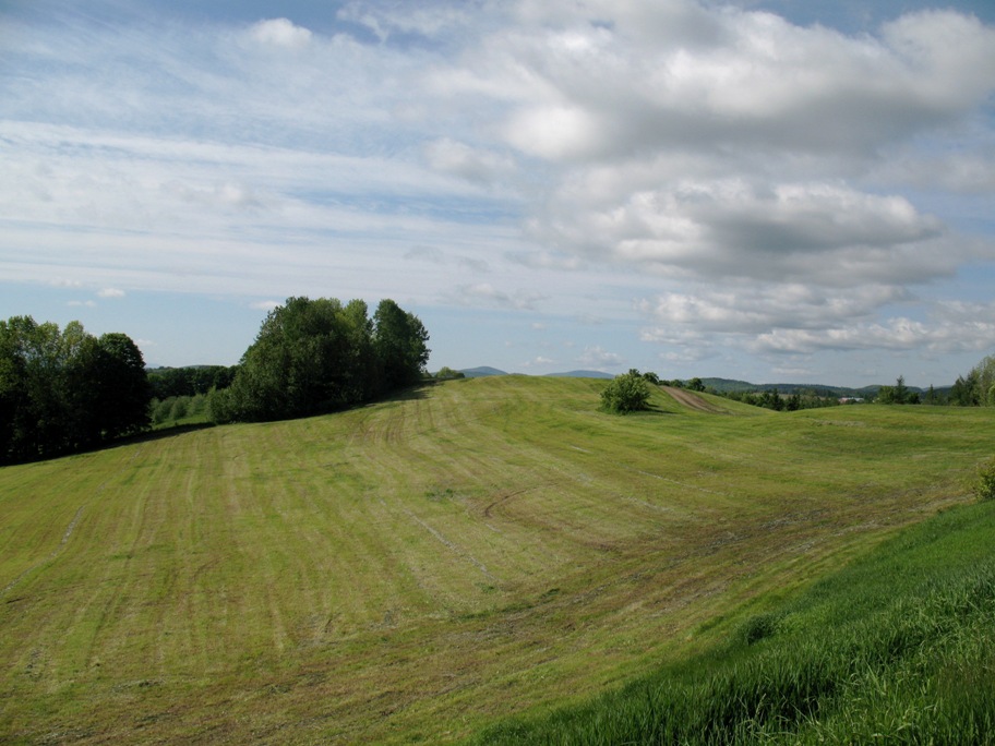
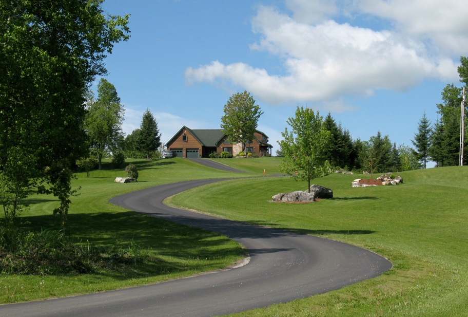
This is still the Adirondack Mountains. Variations on this mowed field were ubiquitous. I don't think this grass is native, but as you'll see, it is normal around here to plant or cultivate huge areas of it and mow it regularly. Maybe not weekly, like a lawn -- maybe only once or twice a year -- but as you can see, whatever they're doing ensures that nothing grows here but grass.
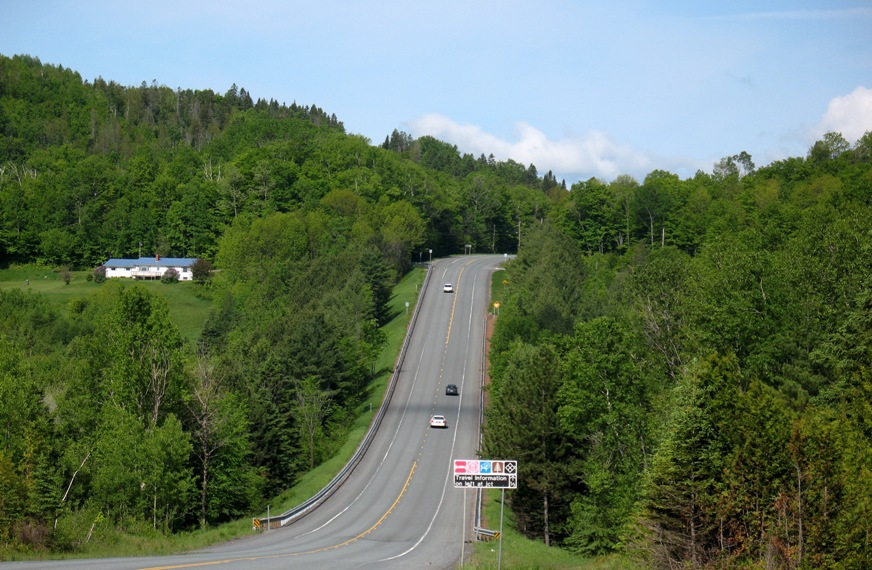
Mixture of forest, grass, hills, the occasional house, and a rolling rural road.
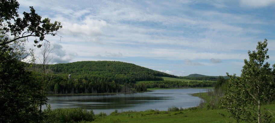
And lakes. Lakes everywhere. They all have names, but you'd only recognize a couple (Lake Placid, Lake Champlain) unless you lived here.
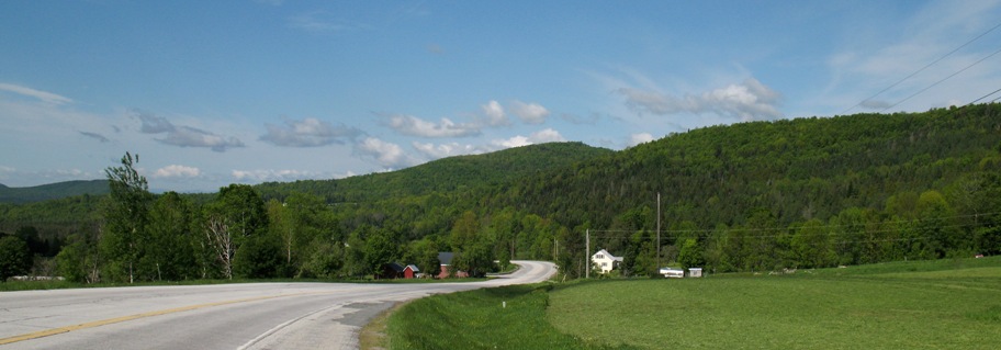
What'd I just say? "Mixture of forest, grass, hills, the occasional house, and a rolling rural road"?
Ditto. Except this person took the general concept and turned it into a sort of bonsai art piece. Except I'd bet this is one land owner who doesn't mow his own lawn. Just a guess.
Lake Champlain, the southern end.

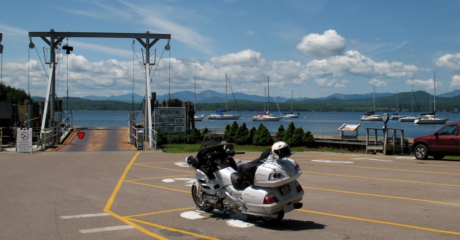
The Charlotte, VT ferry to Essex, NY across Lake Champlain. Good thing I checked ahead online. The big two-hour ferry in the middle of Lake Champlain, which Google Maps was steering me to, doesn't begin running until late June. The short northern and southern ferries run year round. This is the southern one.
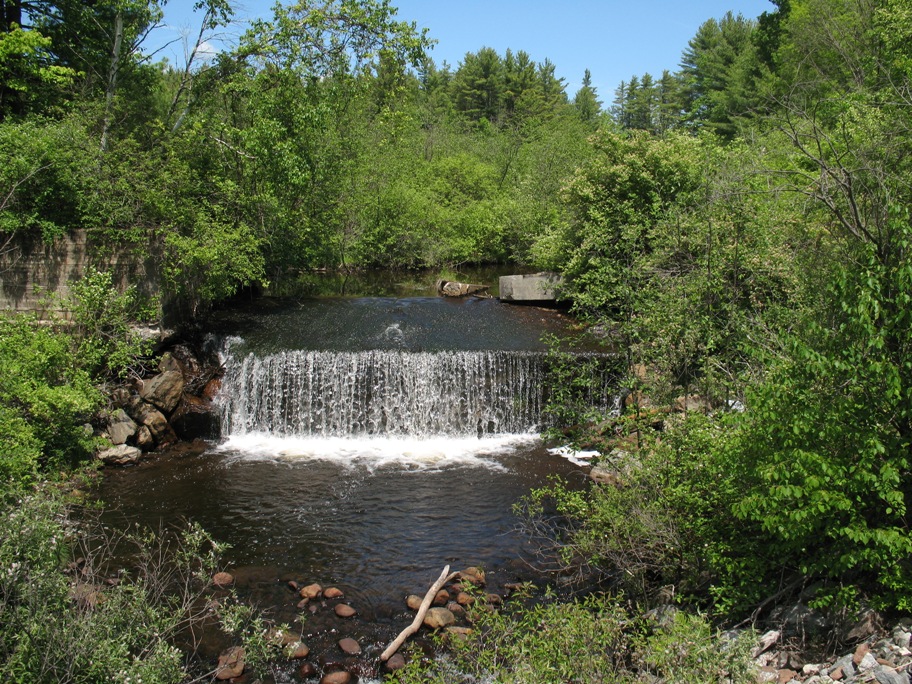
Just another creek over a weir in the NY countryside.
Care to guess what these are?
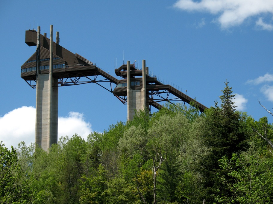
Here's another view.
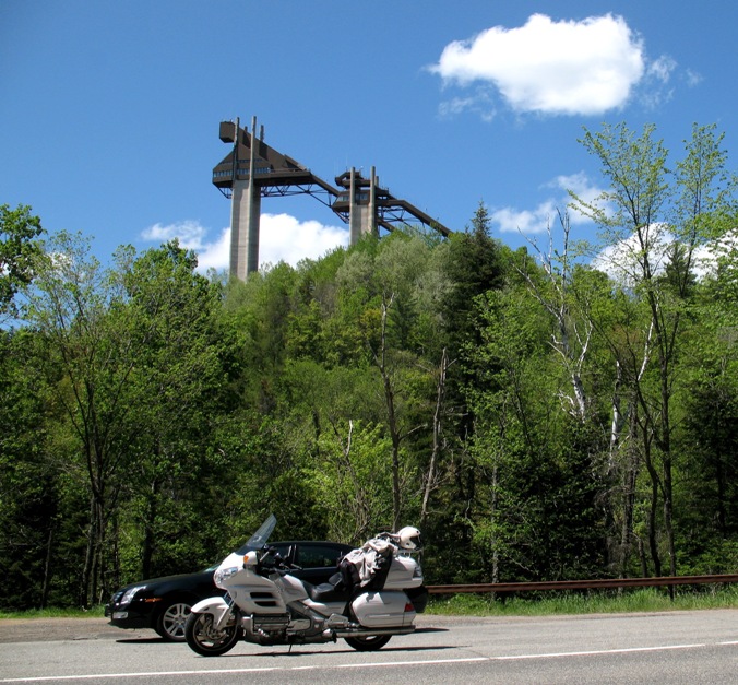
OK, it helps to know I'm coming into Lake Placid. Those are ski jump ramps. Lake Placid is a really, really cute/quaint resort village with lots of tourist traffic. Reminded me of Mammoth, except there weren't any mountains. Not *real* mountains, anyway.
Actually, with the forest and the close-packed hills, I couldn't even find Mirror Lake, which is the lake "Lake Placid" sits on. The actual Lake Placid is a few miles further north. I did, however, see the Olympic Oval where Eric Heiden won his six gold medals. It was right in the middle of town.
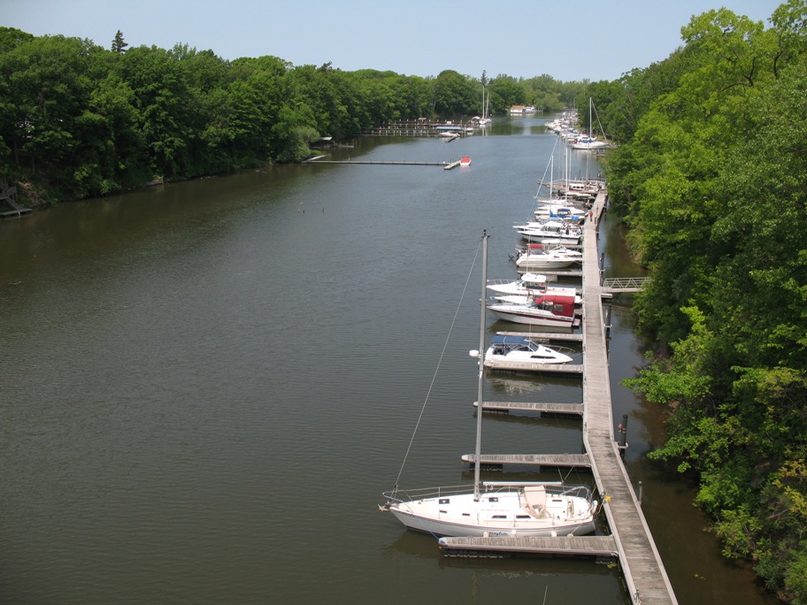
I stayed in the town of Lake Saranac. This pond was right next to my hotel. Pretty idyllic, yes?
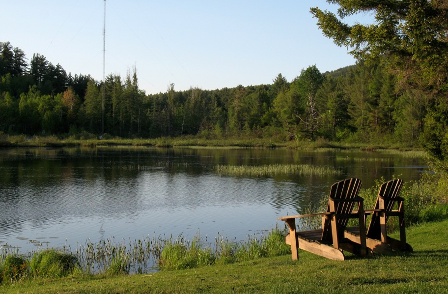
But just like every beach in paradise has sand fleas (trust me), every lawn in the eastern US has goose turds. You can see them in the photo, the small dark bits to the left of the chairs. I found out because I walked there barefoot to try to get a better angle.
Friday 6/5/2009
Day 44 (20 days to Lynn's arrival)
Lake Saranac, NY to Calcium, NY (near Watertown), 112 miles
I'd scheduled this to be a short day because I expected to find lots of good photo opportunities in this western part of the Adirondacks. Actually, there wasn't a lot to see, plus which this was the day I had the hypertension episode, so I wasn't in much of a stop-and-smell-the-roses mood. Nonetheless, before my body decided to interrupt my stream of thought, I did get a few pix. This is Lake Saranac.
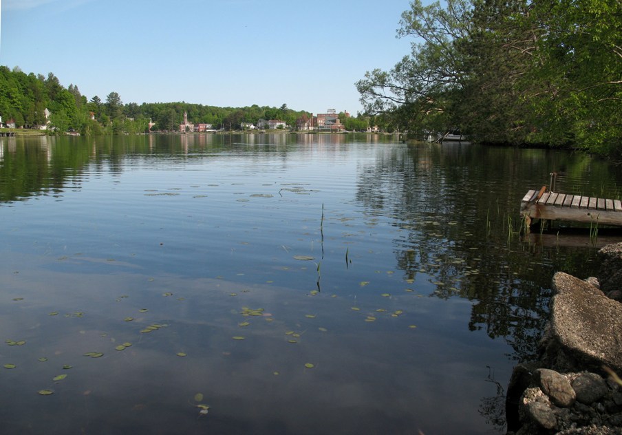
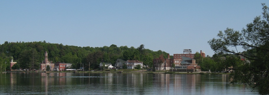
Lake Saranac's downtown sits right on Lake Saranac, a feat Lake Placid failed to duplicate. Very nice little town.
Just another lake in the woods. There are a lot of these . . and a lot of pontoon picnic boats on every one. In the California Delta we call their larger, Winnebago-like kin "Delta Destroyers".
More grass. Explain this. The only way this grass could be native is if this were a swamp, but it's not. It's a well-drained field. And all the grass is exactly the same height (about two feet) because it all got mowed after the snow melted. And judging by the first pic at the top of this page, it'll get mowed again this summer at least once, maybe twice. Why? I don't know. Nothing is grazing here. There's no fence. There's no house. What is this used for? Can it really just be decorative? Who mows it?
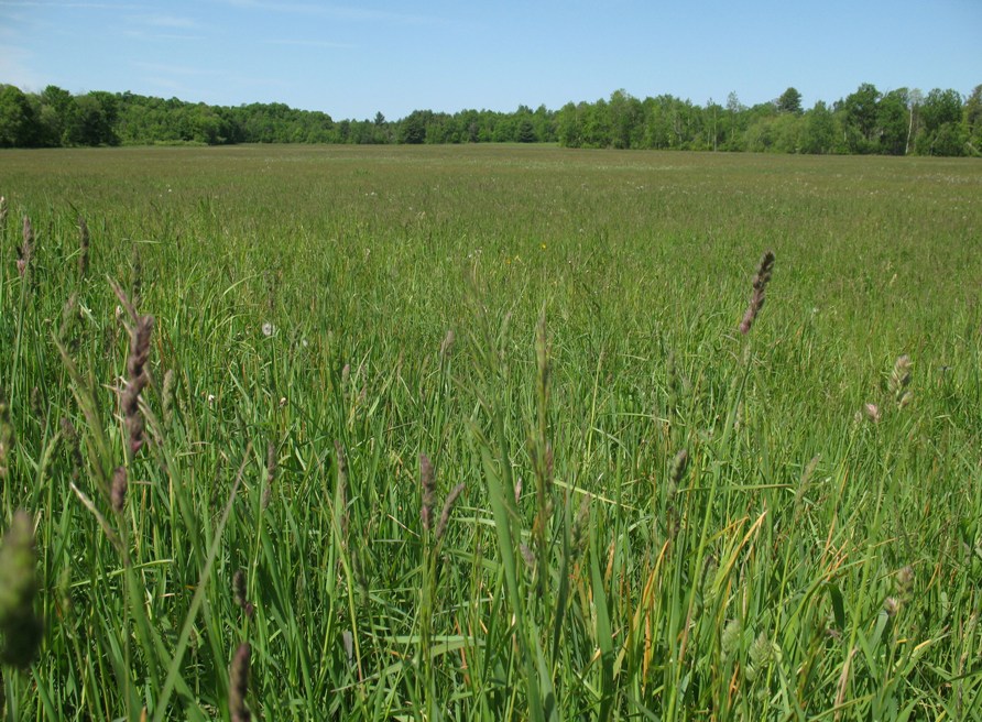
These and other questions remain unanswered. I await divine guidance.
Saturday 6/6/2009
Day 45 (19 days to Lynn's arrival)
Calcium, NY to Niagara Falls, NY, 229 miles
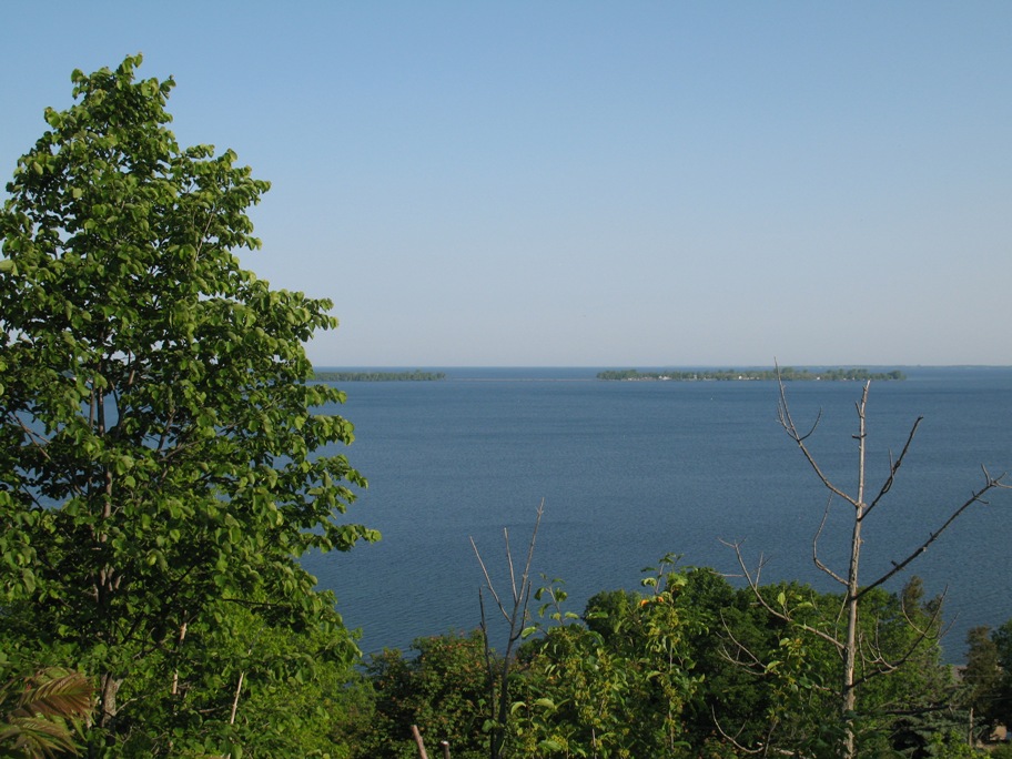
Calcium's sole claim to fame is that it is just outside Fort Drum, an Army base, so it has the bare minimum necessary to serve that populace -- at competitive prices, cuz soldiers are poor. From there the road to Niagara Falls bends south and west around Lake Ontario's southeast corner, of which below is my first glimpse. As usual I was hugging the shoreline whenever possible, sticking to rural roads if they went sort of in the right direction. Thank heaven for GPS on my iPhone.
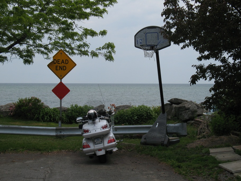
I went looking for a spot where I could get right down to the shore, and this is the first such spot I found. Given that this is lakeshore, you might expect it to be a well-to-do area, but you'd be mistaken. It was pretty middle-class. Of course, remember, this is the Rochester region, which has exactly two (related) claims to fame: the Eastman Kodak company (currently a shadow of its former self) and Rochester Institute of Technology, where people get Optics degrees so they can work at Kodak. Kinda like ITT and ITT Technical Institute in Fort Wayne, IN. Both are in economically depressed areas with only one major industry. I've done business with both. Any of my friends in California, you could afford to live here. And for a couple months a year you might like it.
BTW, ITT recently bought the most lucrative part of Kodak, its classified government contracting division. I know what they make. Shh. It's secret.
This house was on my right as I took the last picture. Remember all those homes with a dozen cords or so of wood stacked up outside? Well, what do you make of this? I don't think this house is off the grid, needing wood for heating. What's more, that front stack of wood is . . . cement.
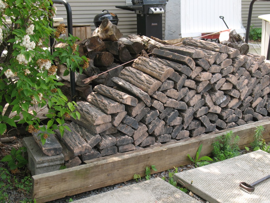
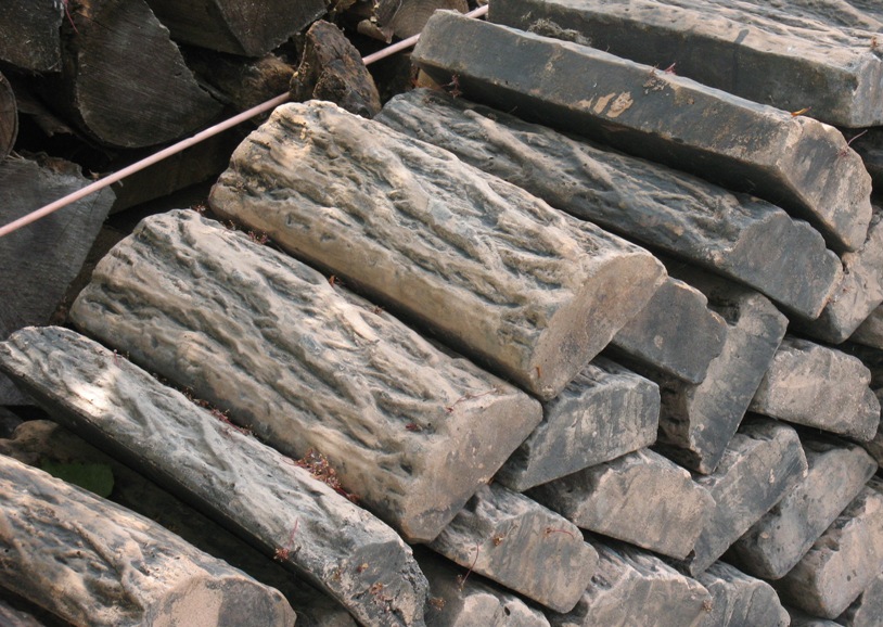
Look closely. I sure did. I could hardly believe what was seeing. I walked right up to ensure that those two "logs" on top were, in fact, identical. Came out of a mold. And the two bookending those, edge-on, same deal.
I'm soliciting explanations from anyone who has a deep background in Upper Midwestern living.
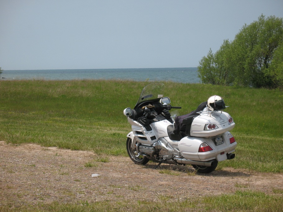
Finally found a spot where I could get to the water, so natually I photographed my bike.
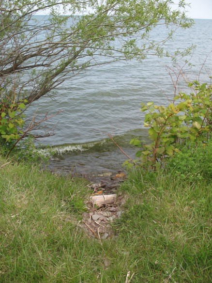
Lake Ontario is huge -- 145 miles long by 45 miles wide -- but it does not act like ocean. That's because no swell can persist here. Once the wind dies, every swell vanishes as soon as it hits the nearest land, which cannot take longer than a few hours. After that, it's back to being a millpond. What this means to sailors on these lakes is that there are only two types of sea state: flat, and short, steep, choppy waves. Granted those waves can get big and dangerous, but they don't last. Here we have four inch wind waves breaking on a shore that obviously seldom sees an angry sea. And besides, the water's fresh.
This is Oak Orchard Creek, about half way between Rochester and Niagara Falls. (I don't know what an oak orchard is either.) Right beyond those trees at the far end is the Lake. The creek flows into the lake without the slightest impedance -- no shoals or sand bars, no delta, just -- clunk. Of course it's dredged for the boats -- the deep water is all to the right of the centerline of the creek here -- but there's no complexity to the interface like you find with creeks that flow into salt water -- with tides.
This is written on the next day, June 7th, Day 46. I rode from Niagara Falls, NY to Imlay City, MI today, 228 miles, 200 of which was through Canada. Check a map, it's true. I thought a long time about whether to enter Canada. It saved me probably 150 miles of riding on freeways through places like Buffalo, Cleveland, and Toledo -- and Canada's a nice country, don't get me wrong -- but it meant tempting fate where the health (and health insurance) gods are concerned, and it meant turning off my iPhone if I didn't want to incur a hundred dollars worth of international data roaming charges -- and that meant no GPS. The route was fairly simple, except for one stretch of parkway that goes around the outskirts of the city of Hamilton (population half a million), which I got onto all right but it went on so long I was wondering if I had missed my turn, with no way of finding out. This led to 15 minues of anxiety that ended when the correct freeway entrance finally appeared. The rest was a piece of cake. There was supposed to be rain, but it never appeared, and I seem to have driven right through the front into fair(er) weather.
Tomorrow, however, is not looking good: 70% chance of rain throughout the day. 240 miles. Could be a test of my stamina.
BTW, my experience getting around Hamilton, plus a period of time I spent lost just west of the Lake Champlain ferry (with no cell signal), has convinced me to go get a "real" GPS -- one with pre-loaded maps, so it doesn't need cell signal to work -- bolt it right to the handlebars and wire it in to the bike. I'll do that when I get home. Or, hmm, maybe sooner . . . big Canada trip with Lynn coming up in three weeks, so . . .
I should probably say something about Niagara Falls. I saw it (them). It wasn't easy. The area is carefully constructed so you can't get anywhere near a view without paying. Yeah, I know, same's true of Yosemite Valley, but this was somehow crude and tacky, like a carnival sideshow. I even drove onto Goat Island (near the American shore) across the river upstream of the American Falls. A very fast, roiling, insistent river heading rapidly toward the precipice.
Finally I gave up and drove across Rainbow Bridge into Canada, thinking it might be less tacky there. Canada's fairly "tack-free" in my experience. As it turned out, I got a nice view as I drove across (at 7 am), and that was enough for me. Just to have seen it with my own eyes. Google Earth has really change that. In many, many places on this planet, taking a picture with your own camera is becoming unnecessary, because there are hundreds on Google Earth, and many are better (or from a different vantage point) than what you'll get the day you're there. Which is kind of a relief for me, because it means all I have to do is LOOK. With no distractions. I've been taking pictures since I was about 8 or 9. I tend to look at the world through a photographer's eyes. Every once in awhile it's nice not to.
These falls are not high, about 175 feet. The water beneath is also about that deep. But the falls are long. What is noteworthy is the amount of water.
There are two things I had not realized. The first is trivial: the river flows NORTH. Somehow I had a hard time getting my head wrapped around that. Silly as it is, I always thought of the Falls as flowing south.
Second, this river, and these falls, drain four of the five Great Lakes. Which means the amount of water flowing over that edge is equal to all the rain in that entire drainage, which is gargantuan. Four million cubic feet of water goes over each minute on average, says Wikipedia, six million at high flow (which was about what I was seeing). That's more water than any other waterfall in North America. It's just all spread out. Here's a photo, also courtesy of Wikipedia.
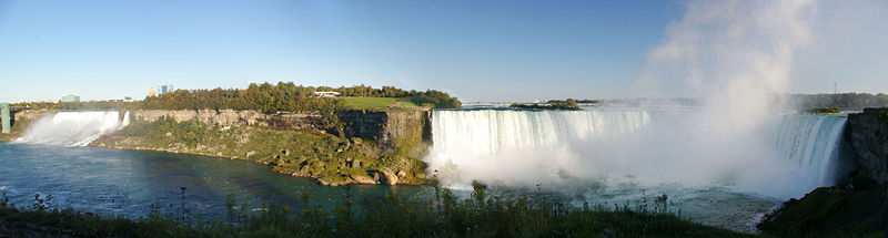
Which is sure better than any photo I could have gotten at 7 am on a cold, overcast, rain-threatening morning!