Day 83
Missoula, MT to Salmon, ID, 140 miles
As I write this, it is Day 96, Tania and I are in Crescent City, CA, we have four more days until we're home in El Segundo, and I am 14 days behind in my updates. If I finish this one tonight, I'll reduce that to 11 and get you to Bozeman. During these three days I rode 625 miles via a zig-zag "scenic route" that would have been 203 miles on I-90. In the process I crossed four passes, two of them on the Continental Divide, one of them on dirt. It was worth every mile.
US Highway 93 goes south out of Missoula up the Bitteroot Valley, along the Bitteroot River in the middle of the Bitteroot Mountains, pictured here.
What farms there are here are hay farms. Business-wise, there must be a lot of trees in the area and not a lot of jobs, because the majority of businesses along the road were either firewood suppliers or log cabin builders -- and there were a lot of both, more than one would think would be supportable.
At the head of the Bitteroot Valley US-93 goes over 6951' Lost Trail Pass (only 200' below the Continental Divide and only a couple miles off it), enters Idaho, and drops into the Salmon River drainage, but oddly, though the road goes downhill as you'd expect, when it reaches the Salmon River the water is flowing north -- which, to all appearances, is UPHILL. This can't be, of course -- turns out the Salmon River takes a big left turn right there to head for its ultimate rendevous with the Snake River, and that's where US-93 comes down to meet it. Then 93 slants slowly UPhill the remaining few miles to Salmon. On the way, about 15 miles north of town, is this little oddment.
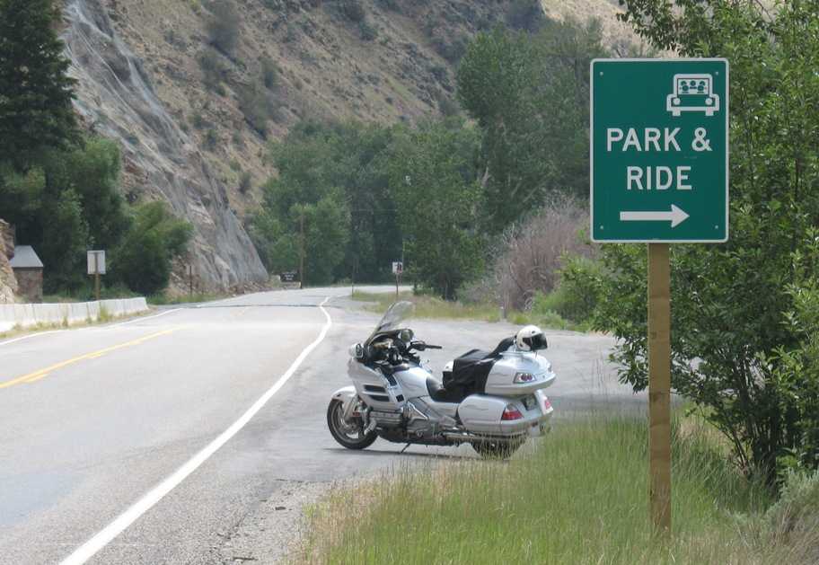
Park & ride where? Salmon is a town of less than 4000 people.
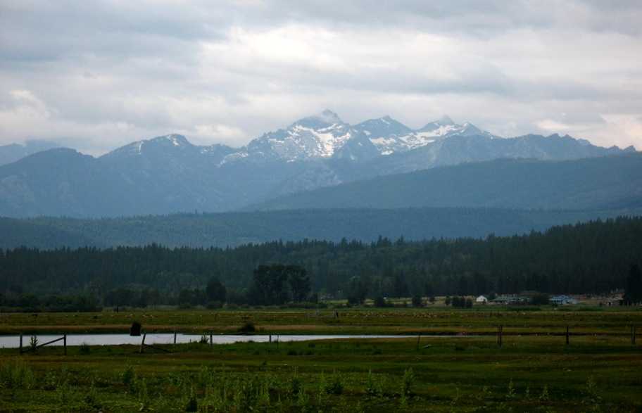
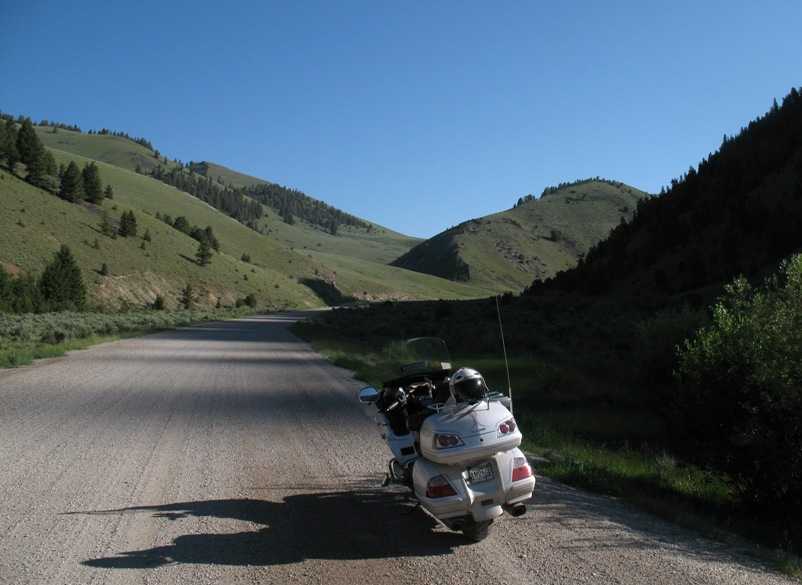
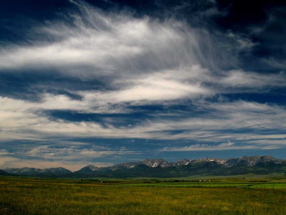
This is what the landscape looks like in the Salmon River Valley looking east. These are now the Rocky Mountains, and on top of them is the Continental Divide. There are no paved roads across them for the next 177 miles, so obviously I'm risking a very long Wednesday if I can't find a passable dirt road across.
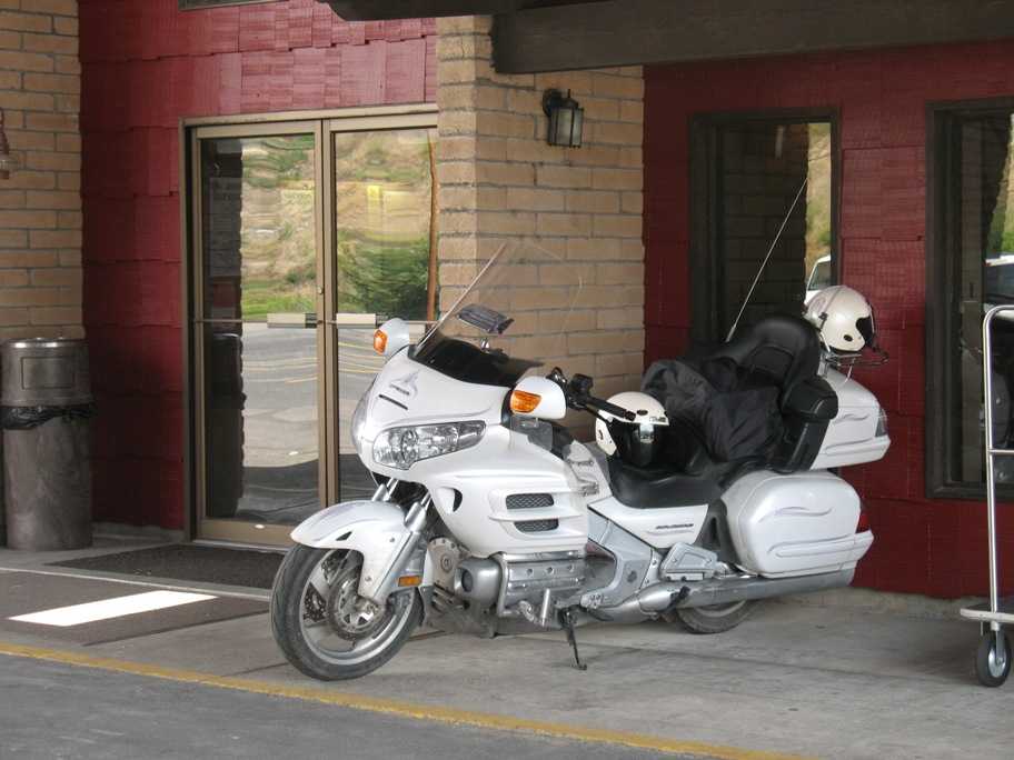
The clerk at my hotel suggested I park here, right next to the front door and all the bellhop carts. Now that's service! By morning there were four other bikes next to mine -- and no carts. Seems like the right priorities to me.
Wednesday 7/15/2009
Day 84
Salmon, ID to Butte, MT, 242 miles
With a lot of miles to cover and most of it mountainous and rural, I got an early start down ID-28, turned left on ID-29, and found myself here by midmorning. Crossing my fingers I pressed on upward.
Not bad. That's 7672' Bannock Pass there, and my first Divide crossing of the day.
Here's the view west back to the Bitteroots on the way up. That valley you can't quite see the bottom of is Salmon River Valley, and Salmon is off to the right.
On the east side the road became County Road 324, which went east to I-15, which I rode north for 10 miles and turned left onto County Road 278 heading for Wisdom, MT (where I would have ended up had I turned left from Lost Trail Pass the previous day). There were two passes on the way, Badger Pass (6760') and Big Hole Pass (7360'). In the photo below are rape fields on the way to Badger Pass, which is off to the left. (BTW, rape is the seed from which canola oil is made. See http://en.wikipedia.org/wiki/Rape_seed)
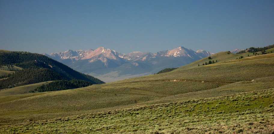
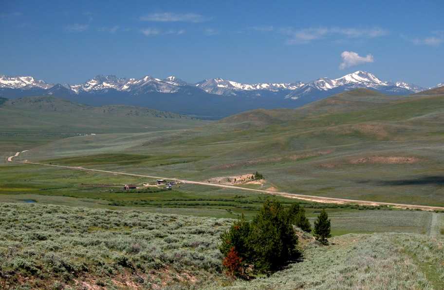
Upon cresting Big Hole Pass, this view presents itself. That's the Big Hole Valley down there, home of the Big Hole River, one of the most picturesque places I've seen, and that road goes right down through it. Friends, this is Marlboro Country.
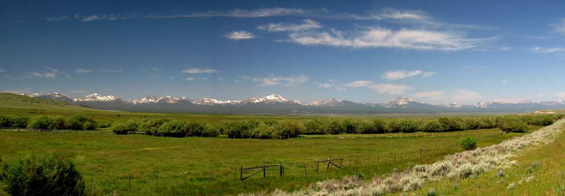
Here's a pan of the valley after I reached the bottom.
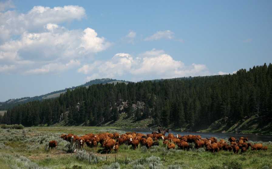
In case you thought I was kidding about Marlboro Country, this photo shows the tail end of an honest-to-god cattle drive, involving some 400 head or do, that blocked the road for 20 minutes.
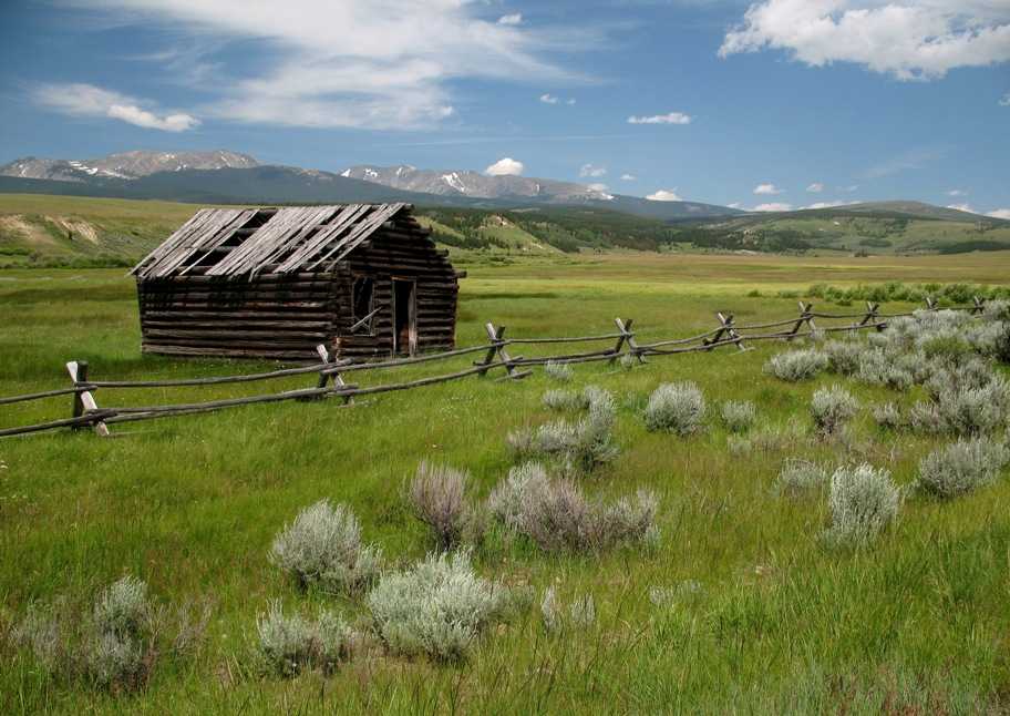
An abandoned line cabin. I took a couple dozen pictures in this spot. It was so darn scenic it almost hurt.
Thursday 7/16/2009
Day 85
Butte, MT to Bozeman, MT, 243 miles
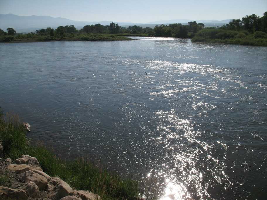
Another zig-zag day. Butte is 85 miles from Bozeman via I-90, but I took a circuitous route via Garrison, Helena, and Wilsall. Around the town of Townsend, 32 miles SE from Helena on US-12, I got to cross this river. The Missouri River. It is flowing north. Really.
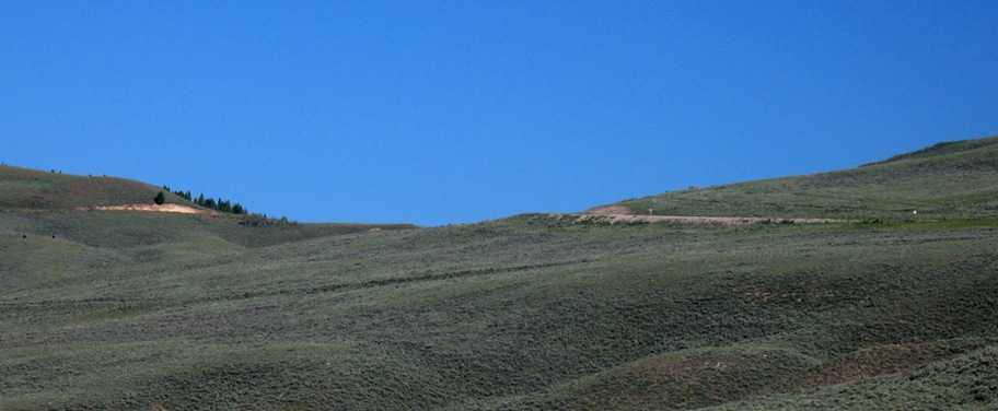
I picked up US-89 heading SSE, looking for Wilsall and MT-86 into Bozeman the "back way", and here's what things looked like. Not too inspiring.
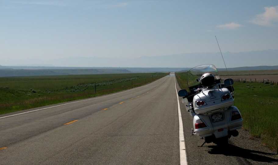
Looking back, still pretty featureless.
But. Looking to the right (west) . . . what's THAT? Those are real mountains.
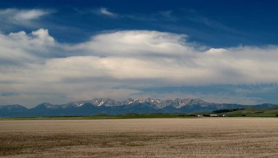
And lo, MT-86 goes right next to them! This day is looking up.
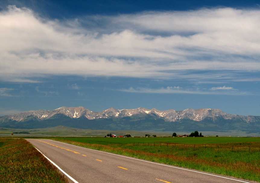
The road goes right through that slot at the far left edge of the photo, so I got a real close look at this range.
This the Bridger Range, in which, if one were a backpacker, one could get pretty far away from people for a week or two. Highest point is Sacagawea Peak at 9665'.
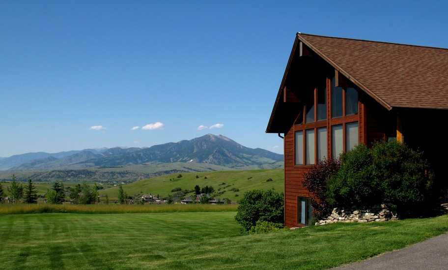
I finally arrived in Bozeman just in time to navigate into the foothills down south of town to the residence of the father of the bride of the wedding I was there to attend. This is his house.
Lynn and our daughter Tania flew in for the wedding, and by prearrangement Tania came equipped to join me for the remaining 2500 miles of my sojourn, which I will take up in the Next Update.